File:Château de Montsoreau, depuis la rive droite de la Loire.jpg
Jump to navigation
Jump to search


Size of this preview: 450 × 600 pixels. Other resolutions: 180 × 240 pixels | 360 × 480 pixels | 576 × 768 pixels | 768 × 1,024 pixels | 1,536 × 2,048 pixels.
Original file (1,536 × 2,048 pixels, file size: 1.41 MB, MIME type: image/jpeg)
|
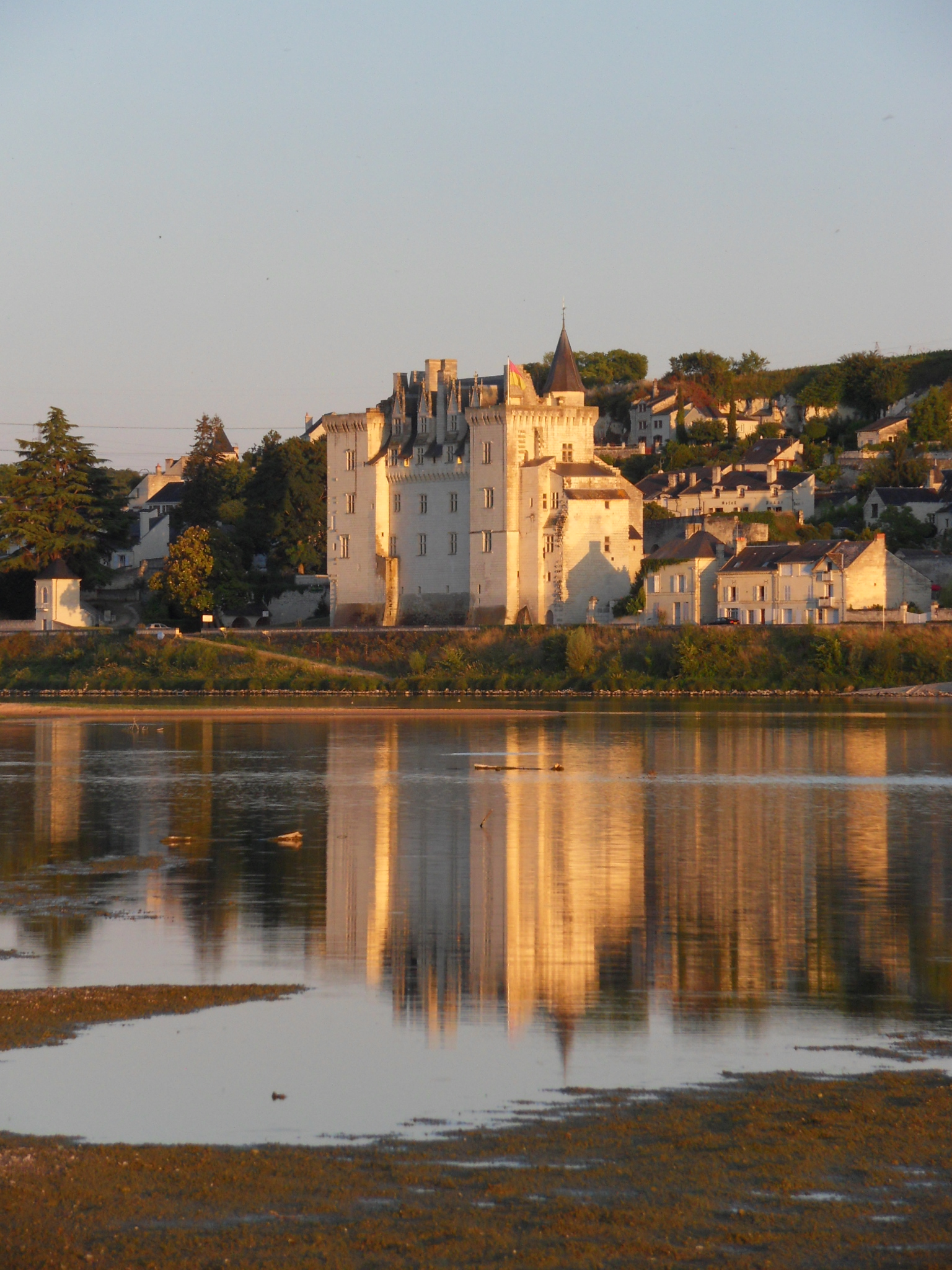
This place is a UNESCO World Heritage Site, listed as
The Loire Valley between Sully-sur-Loire and Chalonnes.
|
Summary
| Description |
English: Château de Montsoreau-Museum of Contemporary Art. Montsoreau in the Loire Valley UNESCO World Heritage Site, is listed one of the most beautiful villages of France Français : Le Château de Montsoreau-Musée d'art contemporain et son reflet dans la Loire. Montsoreau situé dans le Val de Loire, site classé par l'UNESCO au patrimoine mondial de l'humanité, est classé parmi les plus beaux villages de France
|
|||
| Date | ||||
| Source | Own work | |||
| Author | Neige19 |
| Object location | | View this and other nearby images on: OpenStreetMap |
|---|
Licensing
I, the copyright holder of this work, hereby publish it under the following license:
This file is licensed under the Creative Commons Attribution-Share Alike 3.0 Unported license.
- You are free:
- to share – to copy, distribute and transmit the work
- to remix – to adapt the work
- Under the following conditions:
- attribution – You must give appropriate credit, provide a link to the license, and indicate if changes were made. You may do so in any reasonable manner, but not in any way that suggests the licensor endorses you or your use.
- share alike – If you remix, transform, or build upon the material, you must distribute your contributions under the same or compatible license as the original.

|
This image was uploaded as part of Wiki Loves Monuments 2011.
|
File history
Click on a date/time to view the file as it appeared at that time.
| Date/Time | Thumbnail | Dimensions | User | Comment | |
|---|---|---|---|---|---|
| current | 16:25, 24 September 2011 | | 1,536 × 2,048 (1.41 MB) | wikimediacommons>Neige19 |
File usage
The following page uses this file: