Villasor (Q288999): Difference between revisions
Jump to navigation
Jump to search
(Changed an Item: Adding this statements since they where added in Wikidata) |
(Changed an Item: Adding this statements since they where added in Wikidata) |
||||||||||||||
| Property / instance of | |||||||||||||||
| Property / instance of: commune of Italy / rank | |||||||||||||||
Normal rank | |||||||||||||||
| Property / Freebase ID | |||||||||||||||
| Property / Freebase ID: /m/0gqys1 / rank | |||||||||||||||
Normal rank | |||||||||||||||
| Property / Freebase ID: /m/0gqys1 / reference | |||||||||||||||
| Property / Freebase ID: /m/0gqys1 / reference | |||||||||||||||
publication date: 28 October 2013
| |||||||||||||||
| Property / GeoNames ID | |||||||||||||||
| Property / GeoNames ID: 6537922 / rank | |||||||||||||||
Normal rank | |||||||||||||||
| Property / GeoNames ID: 6537922 / reference | |||||||||||||||
| Property / category for people born here | |||||||||||||||
| Property / category for people born here: Q2605566 / rank | |||||||||||||||
Normal rank | |||||||||||||||
| Property / category for people born here: Q2605566 / reference | |||||||||||||||
| Property / topic's main category | |||||||||||||||
| Property / topic's main category: Category:Villasor / rank | |||||||||||||||
Normal rank | |||||||||||||||
| Property / topic's main category: Category:Villasor / reference | |||||||||||||||
| Property / Digital Atlas of the Roman Empire ID | |||||||||||||||
| Property / Digital Atlas of the Roman Empire ID: 35385 / rank | |||||||||||||||
Normal rank | |||||||||||||||
| Property / VIAF ID | |||||||||||||||
| Property / VIAF ID: 315524087 / rank | |||||||||||||||
Normal rank | |||||||||||||||
| Property / VIAF ID: 315524087 / reference | |||||||||||||||
| Property / VIAF ID: 315524087 / reference | |||||||||||||||
retrieved: 3 August 2015
| |||||||||||||||
| Property / elevation above sea level | |||||||||||||||
26±1 metre
| |||||||||||||||
| Property / elevation above sea level: 26±1 metre / rank | |||||||||||||||
Normal rank | |||||||||||||||
| Property / elevation above sea level: 26±1 metre / reference | |||||||||||||||
| Property / official website | |||||||||||||||
| Property / official website: http://www.comune.villasor.ca.it/ / rank | |||||||||||||||
Normal rank | |||||||||||||||
| Property / official website: http://www.comune.villasor.ca.it/ / reference | |||||||||||||||
| Property / coordinates of northernmost point | |||||||||||||||
39°25'18.966"N, 8°58'41.203"E
| |||||||||||||||
| Property / coordinates of northernmost point: 39°25'18.966"N, 8°58'41.203"E / rank | |||||||||||||||
Normal rank | |||||||||||||||
| Property / coordinates of northernmost point: 39°25'18.966"N, 8°58'41.203"E / reference | |||||||||||||||
| Property / coordinates of southernmost point | |||||||||||||||
39°20'4.124"N, 8°57'2.131"E
| |||||||||||||||
| Property / coordinates of southernmost point: 39°20'4.124"N, 8°57'2.131"E / rank | |||||||||||||||
Normal rank | |||||||||||||||
| Property / coordinates of southernmost point: 39°20'4.124"N, 8°57'2.131"E / reference | |||||||||||||||
| Property / coordinates of easternmost point | |||||||||||||||
39°22'50.959"N, 9°0'33.516"E
| |||||||||||||||
| Property / coordinates of easternmost point: 39°22'50.959"N, 9°0'33.516"E / rank | |||||||||||||||
Normal rank | |||||||||||||||
| Property / coordinates of easternmost point: 39°22'50.959"N, 9°0'33.516"E / reference | |||||||||||||||
| Property / coordinates of westernmost point | |||||||||||||||
39°23'33.720"N, 8°46'51.197"E
| |||||||||||||||
| Property / coordinates of westernmost point: 39°23'33.720"N, 8°46'51.197"E / rank | |||||||||||||||
Normal rank | |||||||||||||||
| Property / coordinates of westernmost point: 39°23'33.720"N, 8°46'51.197"E / reference | |||||||||||||||
| Property / OSM relation ID | |||||||||||||||
| Property / OSM relation ID: 39905 / rank | |||||||||||||||
Normal rank | |||||||||||||||
| Property / image | |||||||||||||||
| Property / image: Foto Aerea Villasor Ott 2019.jpg / rank | |||||||||||||||
Normal rank | |||||||||||||||
| Property / image | |||||||||||||||
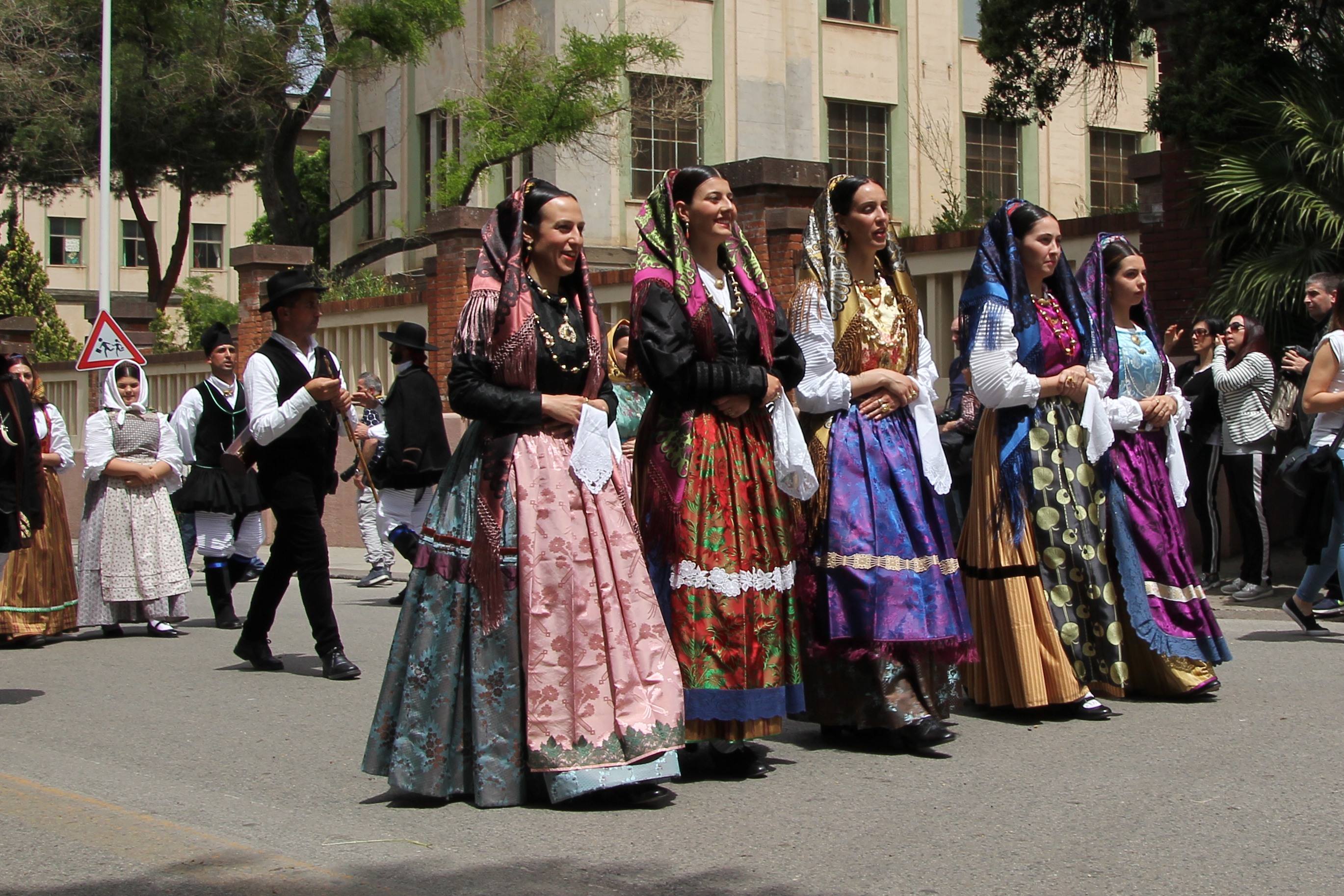
| Property / image: Villasor - Costume tradizionale (03).jpg / rank | |||||||||||||||
Normal rank | |||||||||||||||
| Property / image | |||||||||||||||
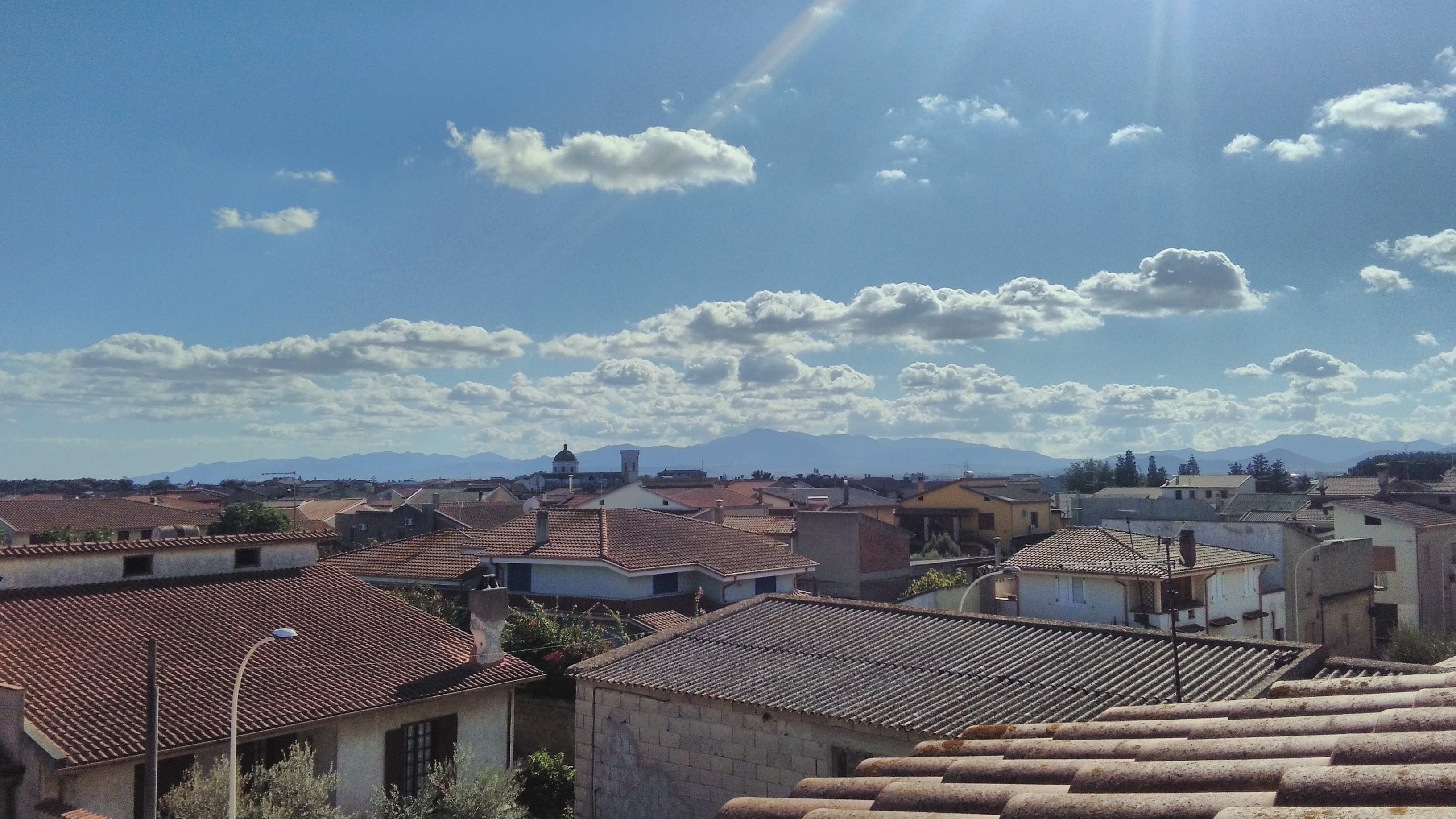
| Property / image: Panorama Villasor.jpg / rank | |||||||||||||||
Normal rank | |||||||||||||||
| Property / capital | |||||||||||||||
| Property / capital: Villasor / rank | |||||||||||||||
Normal rank | |||||||||||||||
| Property / area | |||||||||||||||
86.79 square kilometre
| |||||||||||||||
| Property / area: 86.79 square kilometre / rank | |||||||||||||||
Normal rank | |||||||||||||||
| Property / area: 86.79 square kilometre / reference | |||||||||||||||
| Property / population | |||||||||||||||
6,926
| |||||||||||||||
| Property / population: 6,926 / rank | |||||||||||||||
Normal rank | |||||||||||||||
| Property / population: 6,926 / qualifier | |||||||||||||||
point in time: 1 January 2017
| |||||||||||||||
| Property / population: 6,926 / qualifier | |||||||||||||||
| Property / population: 6,926 / reference | |||||||||||||||
Revision as of 22:37, 5 August 2020
Italian comune
| Language | Label | Description | Also known as |
|---|---|---|---|
| English | Villasor |
Italian comune |
Statements
Villasor
0 references
3 February 2016
1 reference
0 references
6,926
1 January 2017
1 reference
Identifiers
530500925
0 references
111106
6 references
Nuovo assetto territoriale della sardegna (Italian)
22 July 2017


