Lancashire (Q2555003): Difference between revisions
Jump to navigation
Jump to search
(Removed claim: image (P147): Clitheroe town centre - geograph.org.uk - 74167.jpg, Removing this statements since they changed in Wikidata) |
(Changed an Item: Adding these statements since they where added in Wikidata) |
||
| Property / image | |||
| Property / image: Clitheroe town centre - geograph.org.uk - 74167.jpg / rank | |||
Normal rank | |||
| Property / image: Clitheroe town centre - geograph.org.uk - 74167.jpg / qualifier | |||
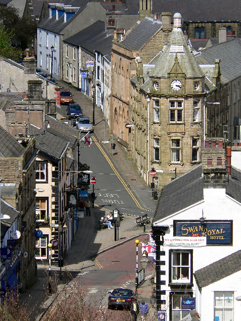
media legend: Clitheroe town centre (English) | |||
| Property / WordNet 3.1 Synset ID | |||
08905033-n | |||
| Property / WordNet 3.1 Synset ID: 08905033-n / rank | |||
Normal rank | |||
Revision as of 22:09, 9 February 2021
ceremonial county in North-West England, United Kingdom
- Lancs
- Lancashire, England
| Language | Label | Description | Also known as |
|---|---|---|---|
| English | Lancashire |
ceremonial county in North-West England, United Kingdom |
|
Statements
3 references
Q2532678 (Deleted Item)
0 references
Lancashire
0 references
3,075.1277 square kilometre
2016
2 references
Standard Area Measurements (2016) for Administrative Areas in the United Kingdom (English)
Lancashire (English)
1,498,300
3 references
Estimates of the population for the UK, England and Wales, Scotland and Northern Ireland (English)
Lancashire (English)
Clitheroe town centre - geograph.org.uk - 74167.jpg
480 × 640; 172 KB
480 × 640; 172 KB
Clitheroe town centre (English)
0 references
Identifiers
UKH2
5 references
30 December 2013
List of FIPS region codes (S-U) (English)
3 references
3 references
GB-LAN
0 references
i83440
0 references
08905033-n
0 references


