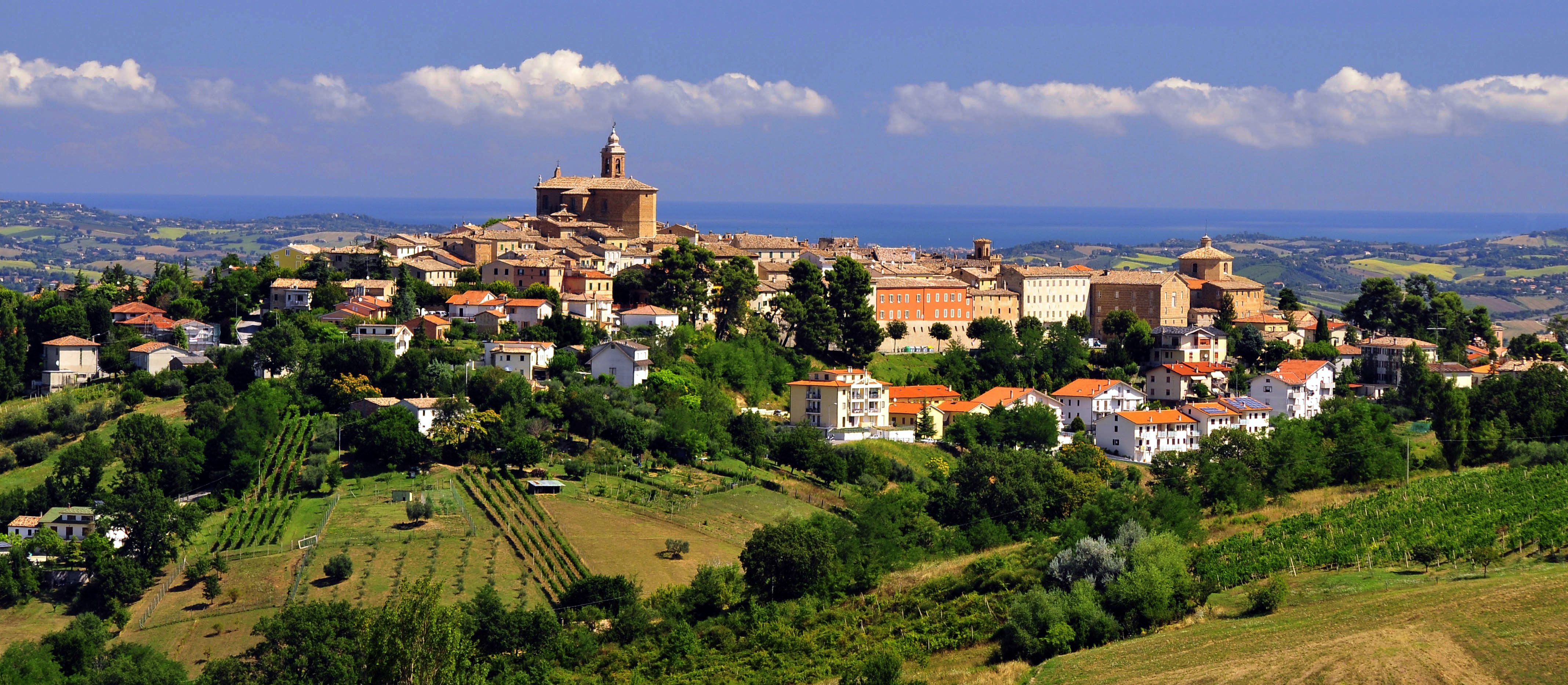
Montecarotto (Q260829): Difference between revisions
Jump to navigation
Jump to search
(Changed an Item: Adding this statements since they where added in Wikidata) |
(Changed an Item: Adding this statements since they where added in Wikidata) |
||
| Property / UN/LOCODE | |||
| Property / UN/LOCODE: ITMEA / rank | |||
Normal rank | |||
| Property / category of associated people | |||
| Property / category of associated people: Category:People of Montecarotto / rank | |||
Normal rank | |||
| Property / IndicePA ID | |||
| Property / IndicePA ID: c_f453 / rank | |||
Normal rank | |||
| Property / Who's on First ID | |||
| Property / Who's on First ID: 101798791 / rank | |||
Normal rank | |||
| Property / category for maps | |||
| Property / category for maps: Category:Maps of Montecarotto / rank | |||
Normal rank | |||
| Property / De Agostini ID | |||
| Property / De Agostini ID: Montecaròtto / rank | |||
Normal rank | |||
Revision as of 04:29, 6 August 2020
Italian comune
| Language | Label | Description | Also known as |
|---|---|---|---|
| English | Montecarotto |
Italian comune |
Statements
Map of comune of Montecarotto (province of Ancona, region Marche, Italy).svg
8,334 × 6,784; 91 KB
8,334 × 6,784; 91 KB
1 reference
Montecarotto
0 references
AN
0 references
24.39 square kilometre
9 October 2011
5 references
Superficie di Comuni Province e Regioni italiane al 9 ottobre 2011 (Italian)
16 March 2019
1,957
1 January 2017
1 reference
1,920
1 January 2018
4 references
Popolazione Residente al 1° Gennaio 2018 (Italian)
16 March 2019
Identifiers
114600422
0 references


