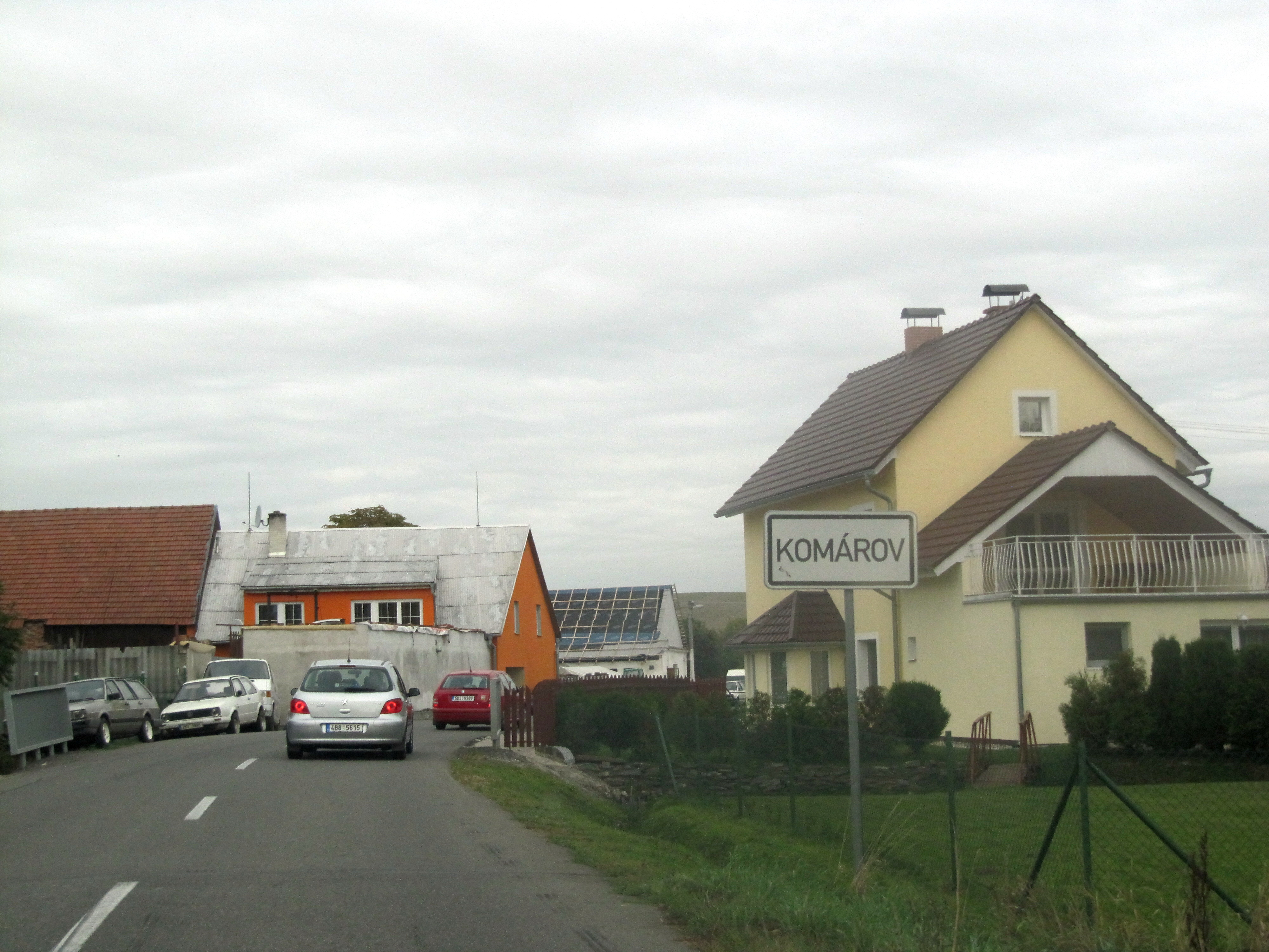
Komárov (Q226138): Difference between revisions
Jump to navigation
Jump to search
(Changed an Item: Adding this statements since they where added in Wikidata) |
(Changed an Item: Adding this statements since they where added in Wikidata) |
||||||||||||||
| Property / OSM relation ID | |||||||||||||||
| Property / OSM relation ID: 438425 / rank | |||||||||||||||
Normal rank | |||||||||||||||
| Property / area | |||||||||||||||
1.491418 square kilometre
| |||||||||||||||
| Property / area: 1.491418 square kilometre / rank | |||||||||||||||
Normal rank | |||||||||||||||
| Property / area: 1.491418 square kilometre / reference | |||||||||||||||
| Property / area: 1.491418 square kilometre / reference | |||||||||||||||
retrieved: 28 August 2018
| |||||||||||||||
| Property / licence plate code | |||||||||||||||
OC | |||||||||||||||
| Property / licence plate code: OC / rank | |||||||||||||||
Normal rank | |||||||||||||||
| Property / licence plate code: OC / reference | |||||||||||||||
| Property / licence plate code: OC / reference | |||||||||||||||
| Property / NKCR AUT ID | |||||||||||||||
| Property / NKCR AUT ID: ge612450 / rank | |||||||||||||||
Normal rank | |||||||||||||||
| Property / Czech Registration ID | |||||||||||||||
| Property / Czech Registration ID: 48770566 / rank | |||||||||||||||
Normal rank | |||||||||||||||
| Property / Czech Registration ID: 48770566 / reference | |||||||||||||||
| Property / historical region | |||||||||||||||
| Property / historical region: Moravia / rank | |||||||||||||||
Normal rank | |||||||||||||||
| Property / historical region: Moravia / reference | |||||||||||||||
| Property / Who's on First ID | |||||||||||||||
| Property / Who's on First ID: 1226698603 / rank | |||||||||||||||
Normal rank | |||||||||||||||
Revision as of 16:31, 26 April 2020
No description defined
- Komarov
| Language | Label | Description | Also known as |
|---|---|---|---|
| English | Komárov |
No description defined |
|
Statements
2 references
Komárov (Olomouc District)
0 references
178
1 January 2014
170
164
160
158
143
138
187
169
180
165
166
191
182
167
2 references
3 September 2016
169
2 references
199
2 references
207
2 references
1.491418 square kilometre
2 references
28 August 2018


