Barreiro (Q2994231): Difference between revisions
Jump to navigation
Jump to search
(Changed an Item: Adding these statements since they where added in Wikidata) |
(Changed an Item: Adding these statements since they where added in Wikidata) |
||||||||||||||
| Property / image | |||||||||||||||
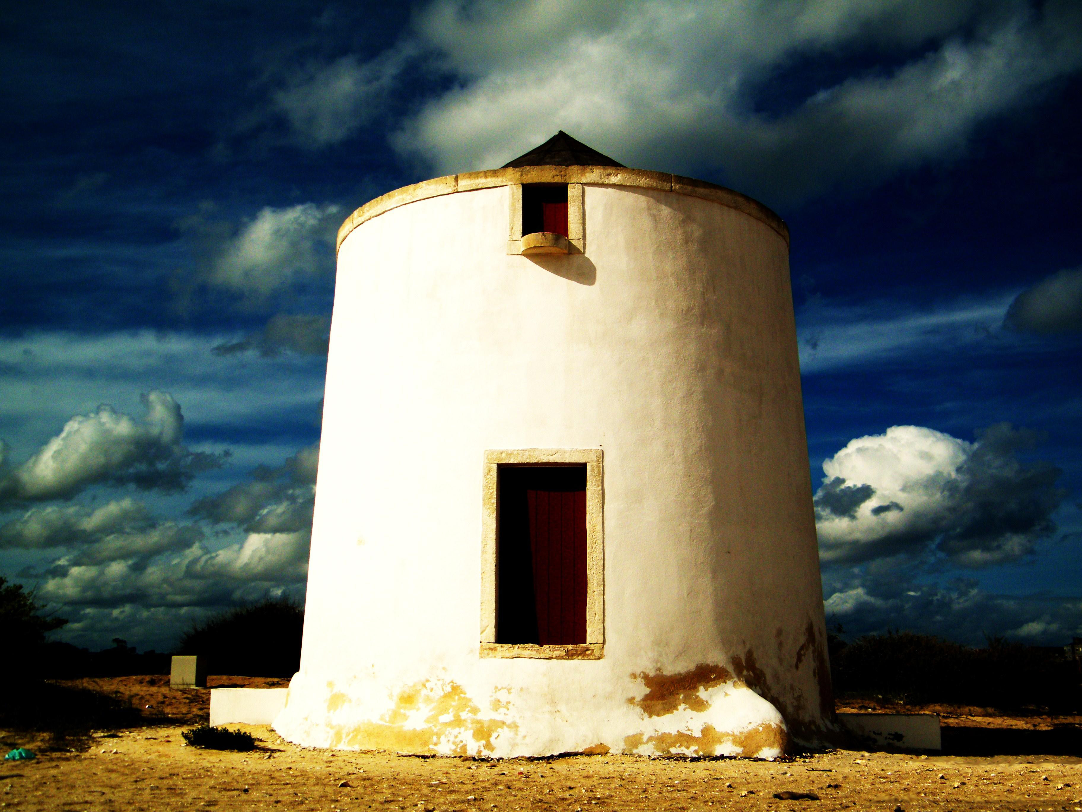
| Property / image: Barreiro.jpg / rank | |||||||||||||||
Preferred rank | |||||||||||||||
| Property / image: Barreiro.jpg / reference | |||||||||||||||
| Property / official website | |||||||||||||||
| Property / official website: http://www.cm-barreiro.pt/ / rank | |||||||||||||||
Normal rank | |||||||||||||||
| Property / official website: http://www.cm-barreiro.pt/ / reference | |||||||||||||||
| Property / Gran Enciclopèdia Catalana ID | |||||||||||||||
| Property / Gran Enciclopèdia Catalana ID: 0007915 / rank | |||||||||||||||
Normal rank | |||||||||||||||
| Property / postal code | |||||||||||||||
2830 | |||||||||||||||
| Property / postal code: 2830 / rank | |||||||||||||||
Normal rank | |||||||||||||||
| Property / postal code: 2830 / reference | |||||||||||||||
| Property / located in time zone | |||||||||||||||
| Property / located in time zone: UTC±00:00 / rank | |||||||||||||||
Normal rank | |||||||||||||||
| Property / located in time zone: UTC±00:00 / reference | |||||||||||||||
| Property / elevation above sea level | |||||||||||||||
20 metre
| |||||||||||||||
| Property / elevation above sea level: 20 metre / rank | |||||||||||||||
Normal rank | |||||||||||||||
| Property / area | |||||||||||||||
32 square kilometre
| |||||||||||||||
| Property / area: 32 square kilometre / rank | |||||||||||||||
Normal rank | |||||||||||||||
| Property / area: 32 square kilometre / reference | |||||||||||||||
| Property / area | |||||||||||||||
36.39±0.0099999999999980105 square kilometre
| |||||||||||||||
| Property / area: 36.39±0.0099999999999980105 square kilometre / rank | |||||||||||||||
Normal rank | |||||||||||||||
| Property / area: 36.39±0.0099999999999980105 square kilometre / reference | |||||||||||||||
| Property / area: 36.39±0.0099999999999980105 square kilometre / reference | |||||||||||||||
retrieved: 19 September 2018
| |||||||||||||||
| Property / area: 36.39±0.0099999999999980105 square kilometre / reference | |||||||||||||||
| Property / contains administrative territorial entity | |||||||||||||||
| Property / contains administrative territorial entity: Santo António da Charneca / rank | |||||||||||||||
Normal rank | |||||||||||||||
| Property / contains administrative territorial entity | |||||||||||||||
| Property / contains administrative territorial entity: Alto do Seixalinho, Santo André e Verderena / rank | |||||||||||||||
Normal rank | |||||||||||||||
| Property / contains administrative territorial entity | |||||||||||||||
| Property / contains administrative territorial entity: Barreiro e Lavradio / rank | |||||||||||||||
Normal rank | |||||||||||||||
| Property / contains administrative territorial entity | |||||||||||||||
| Property / contains administrative territorial entity: Palhais e Coina / rank | |||||||||||||||
Normal rank | |||||||||||||||
| Property / population | |||||||||||||||
78,764
| |||||||||||||||
| Property / population: 78,764 / rank | |||||||||||||||
Normal rank | |||||||||||||||
| Property / population: 78,764 / qualifier | |||||||||||||||
point in time: 2011
| |||||||||||||||
| Property / population: 78,764 / reference | |||||||||||||||
| Property / population: 78,764 / reference | |||||||||||||||
| Property / population: 78,764 / reference | |||||||||||||||
retrieved: 19 September 2018
| |||||||||||||||
| Property / population: 78,764 / reference | |||||||||||||||
| Property / population: 78,764 / reference | |||||||||||||||
retrieved: 19 September 2018
| |||||||||||||||
| Property / population: 78,764 / reference | |||||||||||||||
| Property / archINFORM location ID | |||||||||||||||
| Property / archINFORM location ID: 12426 / rank | |||||||||||||||
Normal rank | |||||||||||||||
| Property / archINFORM location ID: 12426 / reference | |||||||||||||||
| Property / archINFORM location ID: 12426 / reference | |||||||||||||||
| Property / archINFORM location ID: 12426 / reference | |||||||||||||||
retrieved: 5 August 2018
| |||||||||||||||
| Property / VIAF ID | |||||||||||||||
| Property / VIAF ID: 147805242 / rank | |||||||||||||||
Normal rank | |||||||||||||||
| Property / VIAF ID: 147805242 / reference | |||||||||||||||
| Property / VIAF ID: 147805242 / reference | |||||||||||||||
| Property / GND ID | |||||||||||||||
| Property / GND ID: 4622110-4 / rank | |||||||||||||||
Normal rank | |||||||||||||||
| Property / GND ID: 4622110-4 / reference | |||||||||||||||
| Property / GND ID: 4622110-4 / reference | |||||||||||||||
| Property / INE ID (Portugal) | |||||||||||||||
1504 | |||||||||||||||
| Property / INE ID (Portugal): 1504 / rank | |||||||||||||||
Normal rank | |||||||||||||||
| Property / INE ID (Portugal): 1504 / reference | |||||||||||||||
| Property / OSM relation ID | |||||||||||||||
| Property / OSM relation ID: 5401735 / rank | |||||||||||||||
Normal rank | |||||||||||||||
| Property / OSM relation ID: 5401735 / reference | |||||||||||||||
| Property / Library of Congress authority ID | |||||||||||||||
| Property / Library of Congress authority ID: n85015439 / rank | |||||||||||||||
Normal rank | |||||||||||||||
| Property / Library of Congress authority ID: n85015439 / reference | |||||||||||||||
| Property / Library of Congress authority ID: n85015439 / reference | |||||||||||||||
retrieved: 6 March 2019
| |||||||||||||||
| Property / Who's on First ID | |||||||||||||||
| Property / Who's on First ID: 101832805 / rank | |||||||||||||||
Normal rank | |||||||||||||||
Revision as of 09:20, 8 April 2022
No description defined
- Barreiro Municipality
| Language | Label | Description | Also known as |
|---|---|---|---|
| English | Barreiro |
No description defined |
|
Statements
Barreiro
0 references
Q2994652 (Deleted Item)
0 references
20 metre
0 references
36.39±0.0099999999999980105 square kilometre
78,764
2011
6 references
Identifiers
2--46944
0 references
3 references


