Sotogrande Port (Q3207554): Difference between revisions
Jump to navigation
Jump to search
(Changed an Item: Sitelinks in wikidata changed) |
(Changed an Item: Adding these statements since they where added in Wikidata) |
||||||||||
| Property / instance of | |||||||||||
| Property / instance of: port / rank | |||||||||||
Normal rank | |||||||||||
| Property / Commons category | |||||||||||
Port of Sotogrande | |||||||||||
| Property / Commons category: Port of Sotogrande / rank | |||||||||||
Normal rank | |||||||||||
| Property / locator map image | |||||||||||
| Property / locator map image: Puerto de sotogrande.jpg / rank | |||||||||||
Normal rank | |||||||||||
| Property / located in the administrative territorial entity | |||||||||||
| Property / located in the administrative territorial entity: Cádiz Province / rank | |||||||||||
Normal rank | |||||||||||
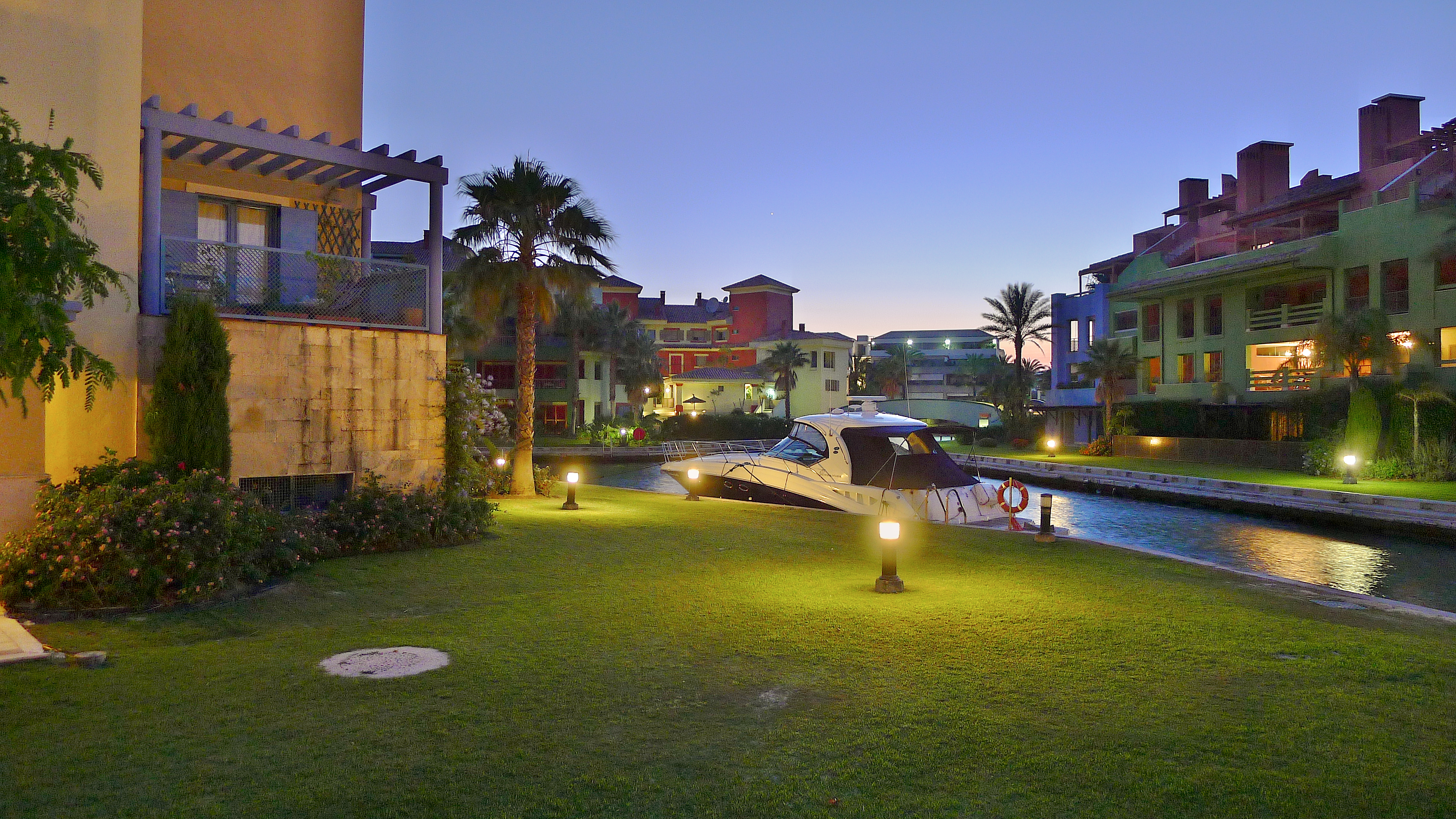
| Property / nighttime view | |||||||||||
| Property / nighttime view: Puerto Deportivo de Sotogrande.jpg / rank | |||||||||||
Normal rank | |||||||||||
| Property / image | |||||||||||
| Property / image: Port of Sotogrande (5793604574).jpg / rank | |||||||||||
Normal rank | |||||||||||
| Property / coordinate location | |||||||||||
36°17'24"N, 5°16'10"W
| |||||||||||
| Property / coordinate location: 36°17'24"N, 5°16'10"W / rank | |||||||||||
Normal rank | |||||||||||
| Property / GeoNames ID | |||||||||||
| Property / GeoNames ID: 10943161 / rank | |||||||||||
Normal rank | |||||||||||
| Property / Google Knowledge Graph ID | |||||||||||
| Property / Google Knowledge Graph ID: /g/122dycjx / rank | |||||||||||
Normal rank | |||||||||||
Latest revision as of 08:15, 24 January 2022
Beneficiary Q3207554 of a Kohesio project
- Puerto Sotogrande
| Language | Label | Description | Also known as |
|---|---|---|---|
| English | Sotogrande Port |
Beneficiary Q3207554 of a Kohesio project |
|
Statements
Port of Sotogrande
0 references
Identifiers
ES51Y396
0 references


