Innichen (Q297102): Difference between revisions
Jump to navigation
Jump to search
(Changed an Item: remove non Kohesio beneficiary from kohesio beneficiary) |
(Removed claim: coordinate location (P127): 46°43'56.64"N, 12°16'42.78"E, Removing this statements since they changed in Wikidata) |
||||||||||
| Property / coordinate location | |||||||||||
| |||||||||||
| Property / coordinate location: 46°43'56.64"N, 12°16'42.78"E / rank | |||||||||||
| Property / coordinate location: 46°43'56.64"N, 12°16'42.78"E / reference | |||||||||||
Revision as of 11:03, 27 July 2022
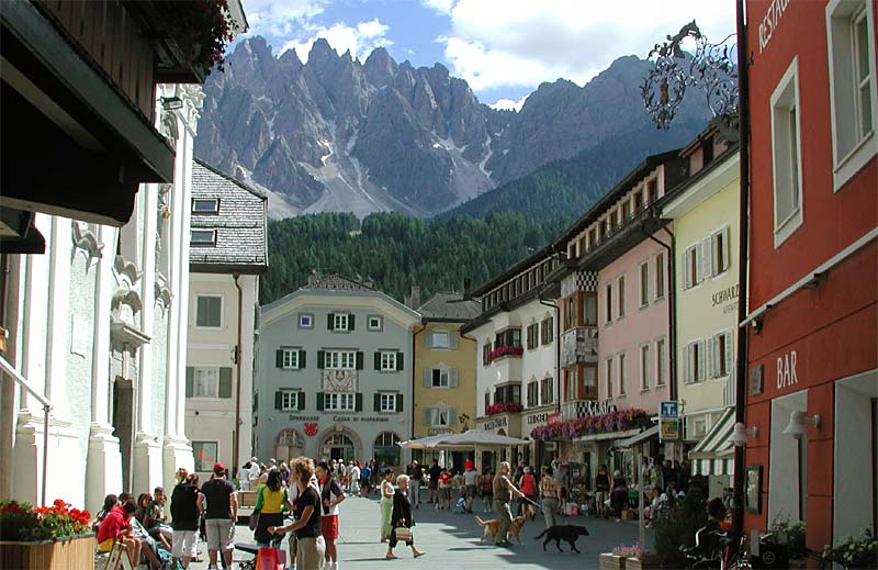
municipality in South Tyrol, Italy
- San Candido
| Language | Label | Description | Also known as |
|---|---|---|---|
| English | Innichen |
municipality in South Tyrol, Italy |
|
Statements
39038
0 references
Innichen
0 references
2 references
BZ
0 references
3,317
1 January 2017
1 reference
3,352
1 January 2018
4 references
Popolazione Residente al 1° Gennaio 2018 (Italian)
16 March 2019
79.85 square kilometre
9 October 2011
5 references
Superficie di Comuni Province e Regioni italiane al 9 ottobre 2011 (Italian)
16 March 2019
Innichen
0 references
Identifiers
81006750210
0 references
2--45383
0 references
3 references


