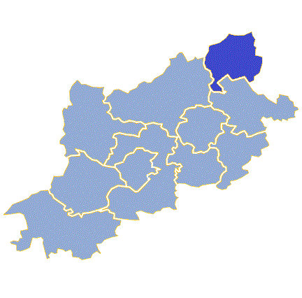
Gmina Babimost (Q2520951): Difference between revisions
Jump to navigation
Jump to search
(Removed claims: Removing this statements since they changed in Wikidata) |
(Changed an Item: Adding these statements since they where added in Wikidata) |
||||||||||
| Property / instance of | |||||||||||
| Property / instance of: second-level administrative country subdivision / rank | |||||||||||
Normal rank | |||||||||||
| Property / coordinate location | |||||||||||
52°9'52.92"N, 15°49'42.60"E
| |||||||||||
| Property / coordinate location: 52°9'52.92"N, 15°49'42.60"E / rank | |||||||||||
Normal rank | |||||||||||
| Property / VIAF ID | |||||||||||
| Property / VIAF ID: 245448718 / rank | |||||||||||
Normal rank | |||||||||||
Revision as of 11:50, 28 October 2021
urban-rural gmina of Poland
- Babimost
| Language | Label | Description | Also known as |
|---|---|---|---|
| English | Gmina Babimost |
urban-rural gmina of Poland |
|
Statements
Gmina Babimost
0 references
70 metre
0 references
92.75 square kilometre
Identifiers
9730822475
0 references


