Wakefield (Q2554170): Difference between revisions
Jump to navigation
Jump to search
(Changed an Item: Adding these statements since they where added in Wikidata) |
(Changed label, description and/or aliases in sl: The description in Wikidata changed) |
||||||||||||||
| (13 intermediate revisions by 2 users not shown) | |||||||||||||||
| label / el | label / el | ||||||||||||||
Γουέικφιλντ | |||||||||||||||
| label / ga | label / ga | ||||||||||||||
Wakefield | |||||||||||||||
| label / lv | label / lv | ||||||||||||||
Veikfīlda (boro) | |||||||||||||||
| label / sl | label / sl | ||||||||||||||
Wakefield | |||||||||||||||
| description / sv | description / sv | ||||||||||||||
storstadsdistrikt i England, Storbritannien | |||||||||||||||
| description / sl | description / sl | ||||||||||||||
metropolitanski okraj s statusom mesta v ceremonialni grofiji West Yorkshire v Angliji | |||||||||||||||
| Property / coordinate location | |||||||||||||||
| |||||||||||||||
| Property / coordinate location: 53°40'58.8"N, 1°29'56.4"W / rank | |||||||||||||||
| Property / coordinate location: 53°40'58.8"N, 1°29'56.4"W / reference | |||||||||||||||
| Property / instance of: 2016 NUTS 3 statistical territorial entity / rank | Property / instance of: 2016 NUTS 3 statistical territorial entity / rank | ||||||||||||||
Normal rank | |||||||||||||||
| Property / instance of | |||||||||||||||
| Property / instance of: 2021 NUTS 3 statistical territorial entity / rank | |||||||||||||||
Preferred rank | |||||||||||||||
| Property / population | |||||||||||||||
327,600
| |||||||||||||||
| Property / population: 327,600 / rank | |||||||||||||||
Normal rank | |||||||||||||||
| Property / population: 327,600 / qualifier | |||||||||||||||
point in time: 2012
| |||||||||||||||
| Property / population: 327,600 / qualifier | |||||||||||||||
| Property / population: 327,600 / reference | |||||||||||||||
| Property / population | |||||||||||||||
357,729
| |||||||||||||||
| Property / population: 357,729 / rank | |||||||||||||||
Normal rank | |||||||||||||||
| Property / population: 357,729 / qualifier | |||||||||||||||
point in time: 2022
| |||||||||||||||
| Property / population: 357,729 / qualifier | |||||||||||||||
| Property / population: 357,729 / reference | |||||||||||||||
| Property / P98796 | |||||||||||||||
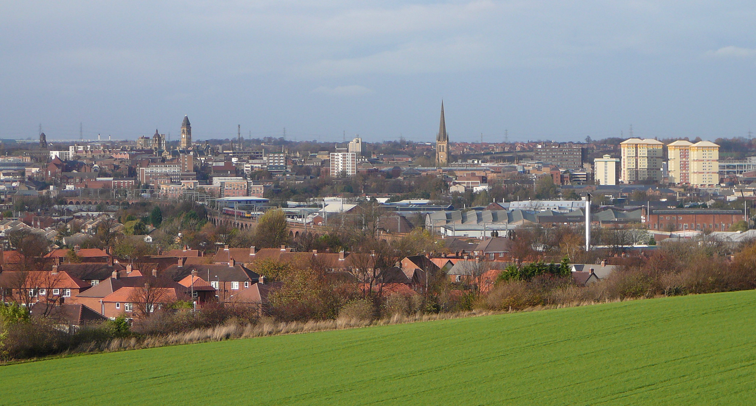
| Property / P98796: Category:Views of the City of Wakefield / rank | |||||||||||||||
Normal rank | |||||||||||||||
| Property / UK Parliament thesaurus ID | |||||||||||||||
| Property / UK Parliament thesaurus ID: 13647 / rank | |||||||||||||||
Normal rank | |||||||||||||||
| Property / UK Parliament thesaurus ID: 13647 / qualifier | |||||||||||||||
named as: Wakefield | |||||||||||||||
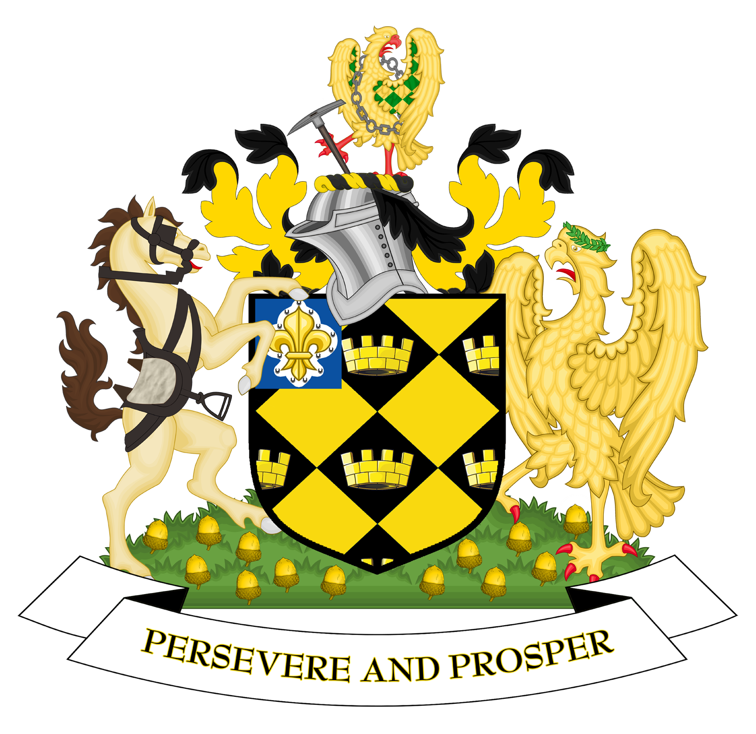
| Property / coat of arms image | |||||||||||||||
| Property / coat of arms image: Coat of arms of Wakefield City Council.png / rank | |||||||||||||||
Normal rank | |||||||||||||||
| Property / coat of arms image: Coat of arms of Wakefield City Council.png / reference | |||||||||||||||
| Property / archINFORM location ID | |||||||||||||||
| Property / archINFORM location ID: 49297 / rank | |||||||||||||||
Normal rank | |||||||||||||||
| Property / archINFORM location ID: 49297 / reference | |||||||||||||||
| Property / archINFORM location ID: 49297 / reference | |||||||||||||||
| Property / archINFORM location ID: 49297 / reference | |||||||||||||||
retrieved: 23 June 2022
| |||||||||||||||
| Property / EU Knowledge Graph item ID | |||||||||||||||
Q2554170 | |||||||||||||||
| Property / EU Knowledge Graph item ID: Q2554170 / rank | |||||||||||||||
Normal rank | |||||||||||||||
| Property / coordinate location | |||||||||||||||
53°40'59"N, 1°29'56"W
| |||||||||||||||
| Property / coordinate location: 53°40'59"N, 1°29'56"W / rank | |||||||||||||||
Normal rank | |||||||||||||||
| Property / coordinate location: 53°40'59"N, 1°29'56"W / reference | |||||||||||||||
| Property / GNS Unique Feature ID | |||||||||||||||
6077654 | |||||||||||||||
| Property / GNS Unique Feature ID: 6077654 / rank | |||||||||||||||
Normal rank | |||||||||||||||
Latest revision as of 14:10, 4 October 2024
local government district in West Yorkshire, England
- City of Wakefield
| Language | Label | Description | Also known as |
|---|---|---|---|
| English | Wakefield |
local government district in West Yorkshire, England |
|
Statements
City of Wakefield
0 references
333,800
345,038
327,600
338.6198 square kilometre
2016
Identifiers
UKO7
5 references
30 December 2013
List of FIPS region codes (S-U) (English)
7000000000016758
0 references
2--42815
0 references
GB.WK
0 references
3 references
Q2554170
0 references
6077654
0 references


