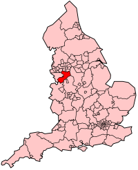
Cheshire East (Q2555111): Difference between revisions
Jump to navigation
Jump to search
(Changed label, description and/or aliases in sv: The description in Wikidata changed) |
(Changed label, description and/or aliases in sl: The description in Wikidata changed) |
||
| (2 intermediate revisions by the same user not shown) | |||
| label / lv | label / lv | ||
Češīras Austrumi | |||
| description / sl | description / sl | ||
enotna upravna enota v grofiji Cheshire v Angliji | enotna upravna enota s statusom okraja v grofiji Cheshire v Angliji | ||
| Property / image | |||
| Property / image: Looking across Tatton Mere and Melchette Mere towards Tatton Hall - geograph.org.uk - 5193498.jpg / rank | |||
Normal rank | |||
Latest revision as of 01:41, 5 November 2024
unitary authority area with borough status in England
| Language | Label | Description | Also known as |
|---|---|---|---|
| English | Cheshire East |
unitary authority area with borough status in England |
Statements
1 reference
1,166.3576 square kilometre
2016
340,500
370,700
352,100
375,400
380,790
372,100
0 references
Identifiers
7000000000043553
0 references
3 references
GB.CQ
0 references
Q2555111
0 references
10876239
0 references


