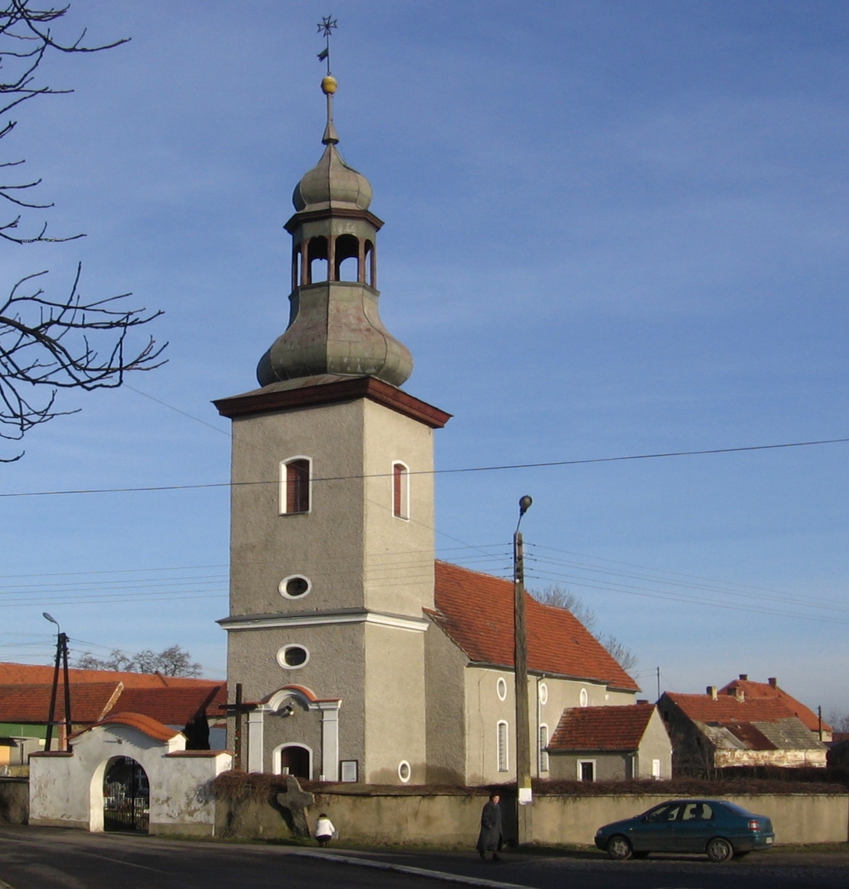
Gmina Jordanów Śląski (Q2673894): Difference between revisions
Jump to navigation
Jump to search
(Changed an Item: Adding these statements since they where added in Wikidata) |
(Changed an Item: Adding these statements since they where added in Wikidata) |
||||||||||||||
| (4 intermediate revisions by 2 users not shown) | |||||||||||||||
| Property / TERYT municipality code | |||||||||||||||
| Property / TERYT municipality code: 0223032 / rank | |||||||||||||||
| Property / TERYT municipality code: 0223032 / reference | |||||||||||||||
| Property / instance of | |||||||||||||||
| Property / instance of: public beneficiary / rank | |||||||||||||||
Normal rank | |||||||||||||||
| Property / instance of: public beneficiary / qualifier | |||||||||||||||
| Property / shares border with | |||||||||||||||
| Property / shares border with: Gmina Sobótka / rank | |||||||||||||||
Normal rank | |||||||||||||||
| Property / different from | |||||||||||||||
| Property / different from: Jordanów Śląski / rank | |||||||||||||||
Normal rank | |||||||||||||||
| Property / area | |||||||||||||||
56.62 square kilometre
| |||||||||||||||
| Property / area: 56.62 square kilometre / rank | |||||||||||||||
Normal rank | |||||||||||||||
| Property / area: 56.62 square kilometre / reference | |||||||||||||||
| Property / GeoNames ID | |||||||||||||||
| Property / GeoNames ID: 7531990 / rank | |||||||||||||||
Normal rank | |||||||||||||||
| Property / GeoNames ID: 7531990 / reference | |||||||||||||||
| Property / TERYT municipality code | |||||||||||||||
0223032 | |||||||||||||||
| Property / TERYT municipality code: 0223032 / rank | |||||||||||||||
Normal rank | |||||||||||||||
| Property / TERYT municipality code: 0223032 / reference | |||||||||||||||
| Property / TERYT municipality code: 0223032 / reference | |||||||||||||||
retrieved: 1 January 2022
| |||||||||||||||
| Property / TERYT municipality code: 0223032 / reference | |||||||||||||||
| Property / EU Knowledge Graph item ID | |||||||||||||||
Q2673894 | |||||||||||||||
| Property / EU Knowledge Graph item ID: Q2673894 / rank | |||||||||||||||
Normal rank | |||||||||||||||
| Property / MinDat Locality ID | |||||||||||||||
333231 | |||||||||||||||
| Property / MinDat Locality ID: 333231 / rank | |||||||||||||||
Normal rank | |||||||||||||||
| Property / OSM relation ID | |||||||||||||||
| Property / OSM relation ID: 3049634 / rank | |||||||||||||||
Normal rank | |||||||||||||||
Latest revision as of 10:54, 9 August 2023
Beneficiary Q2673894 of a Kohesio project
- Jordanów Śląski
| Language | Label | Description | Also known as |
|---|---|---|---|
| English | Gmina Jordanów Śląski |
Beneficiary Q2673894 of a Kohesio project |
|
Statements
Gmina Jordanów Śląski
0 references
71
0 references
DWR
0 references
Identifiers
9141201515
0 references
0223032
3 references
Q2673894
0 references
333231
0 references


