Cerenzia (Q275949): Difference between revisions
Jump to navigation
Jump to search
(Changed an Item: Sitelinks in wikidata changed) |
(Changed an Item: Adding these statements since they where added in Wikidata) |
||||||||||||||
| (8 intermediate revisions by the same user not shown) | |||||||||||||||
| label / tr | label / tr | ||||||||||||||
Cerenzia | |||||||||||||||
| label / ga | label / ga | ||||||||||||||
Cerenzia | |||||||||||||||
| description / hu | description / hu | ||||||||||||||
község Olaszországban | |||||||||||||||
| Property / image | |||||||||||||||
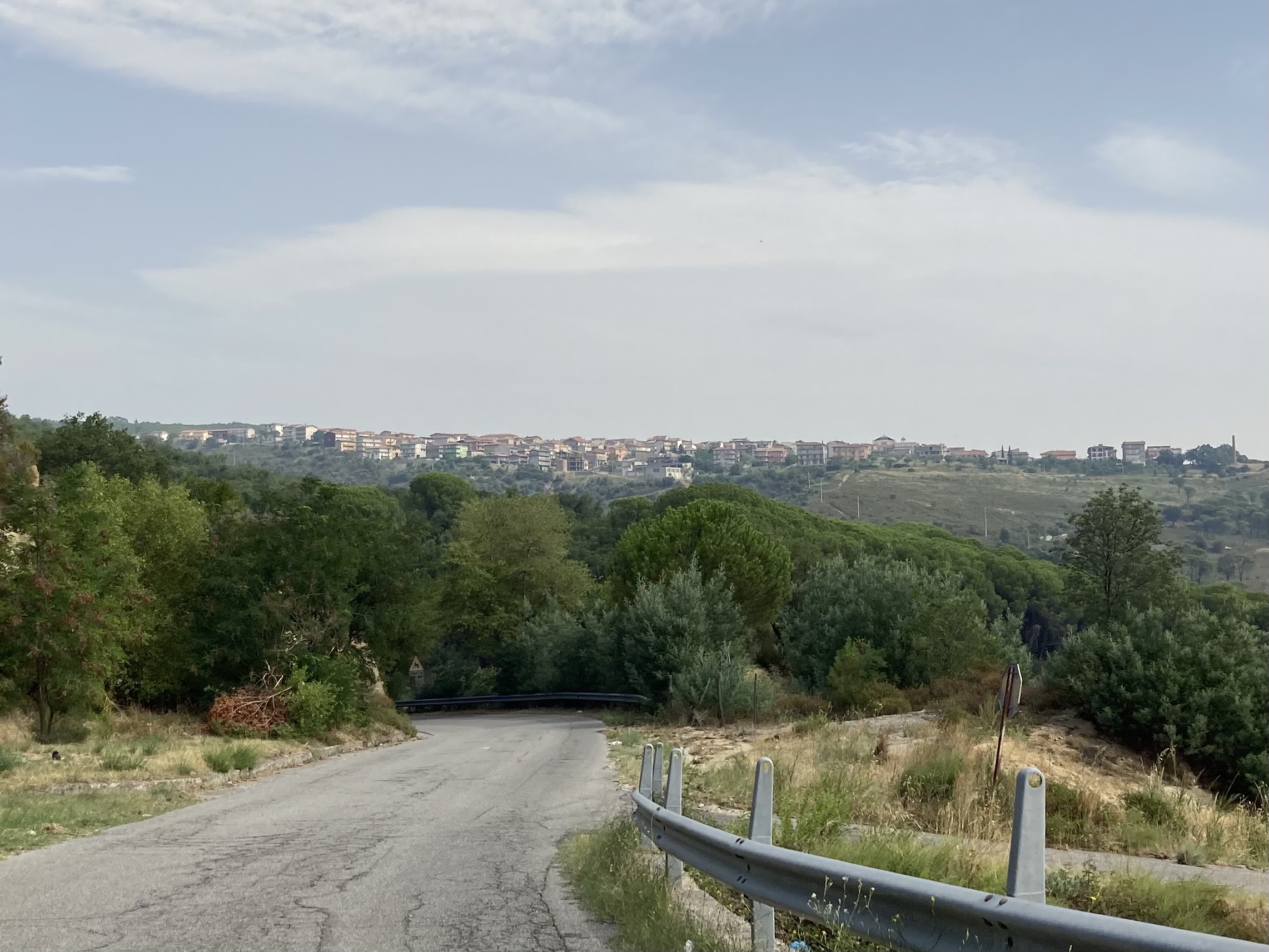
| Property / image: Cerenzia Resti San Teodoro.jpg / rank | |||||||||||||||
| Property / image: Cerenzia Resti San Teodoro.jpg / reference | |||||||||||||||
| Property / De Agostini ID | |||||||||||||||
| Property / De Agostini ID: Cerenzìa / rank | |||||||||||||||
| Property / image | |||||||||||||||
| Property / image: Cerenzia.jpeg / rank | |||||||||||||||
Normal rank | |||||||||||||||
| Property / image: Cerenzia.jpeg / reference | |||||||||||||||
| Property / De Agostini ID | |||||||||||||||
| Property / De Agostini ID: Cerenzìa / rank | |||||||||||||||
Normal rank | |||||||||||||||
| Property / De Agostini ID: Cerenzìa / qualifier | |||||||||||||||
named as: Cerenzìa | |||||||||||||||
| Property / seismic classification | |||||||||||||||
| Property / seismic classification: 2 / rank | |||||||||||||||
Normal rank | |||||||||||||||
| Property / seismic classification: 2 / reference | |||||||||||||||
| Property / seismic classification: 2 / reference | |||||||||||||||
| Property / seismic classification: 2 / reference | |||||||||||||||
retrieved: 27 August 2022
| |||||||||||||||
| Property / EU Knowledge Graph item ID | |||||||||||||||
Q275949 | |||||||||||||||
| Property / EU Knowledge Graph item ID: Q275949 / rank | |||||||||||||||
Normal rank | |||||||||||||||
Latest revision as of 17:24, 19 November 2022
Italian comune
| Language | Label | Description | Also known as |
|---|---|---|---|
| English | Cerenzia |
Italian comune |
Statements
Cerenzia
0 references
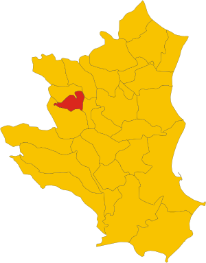
Map of comune of Cerenzia (province of Crotone, region Calabria, Italy).svg
1,082 × 1,382; 75 KB
1,082 × 1,382; 75 KB
1 reference
KR
0 references
21.97 square kilometre
9 October 2011
5 references
Superficie di Comuni Province e Regioni italiane al 9 ottobre 2011 (Italian)
16 March 2019
1,147
1 January 2017
1 reference
1,123
1 January 2018
4 references
Popolazione Residente al 1° Gennaio 2018 (Italian)
16 March 2019
Identifiers
315660795
0 references
Q275949
0 references


