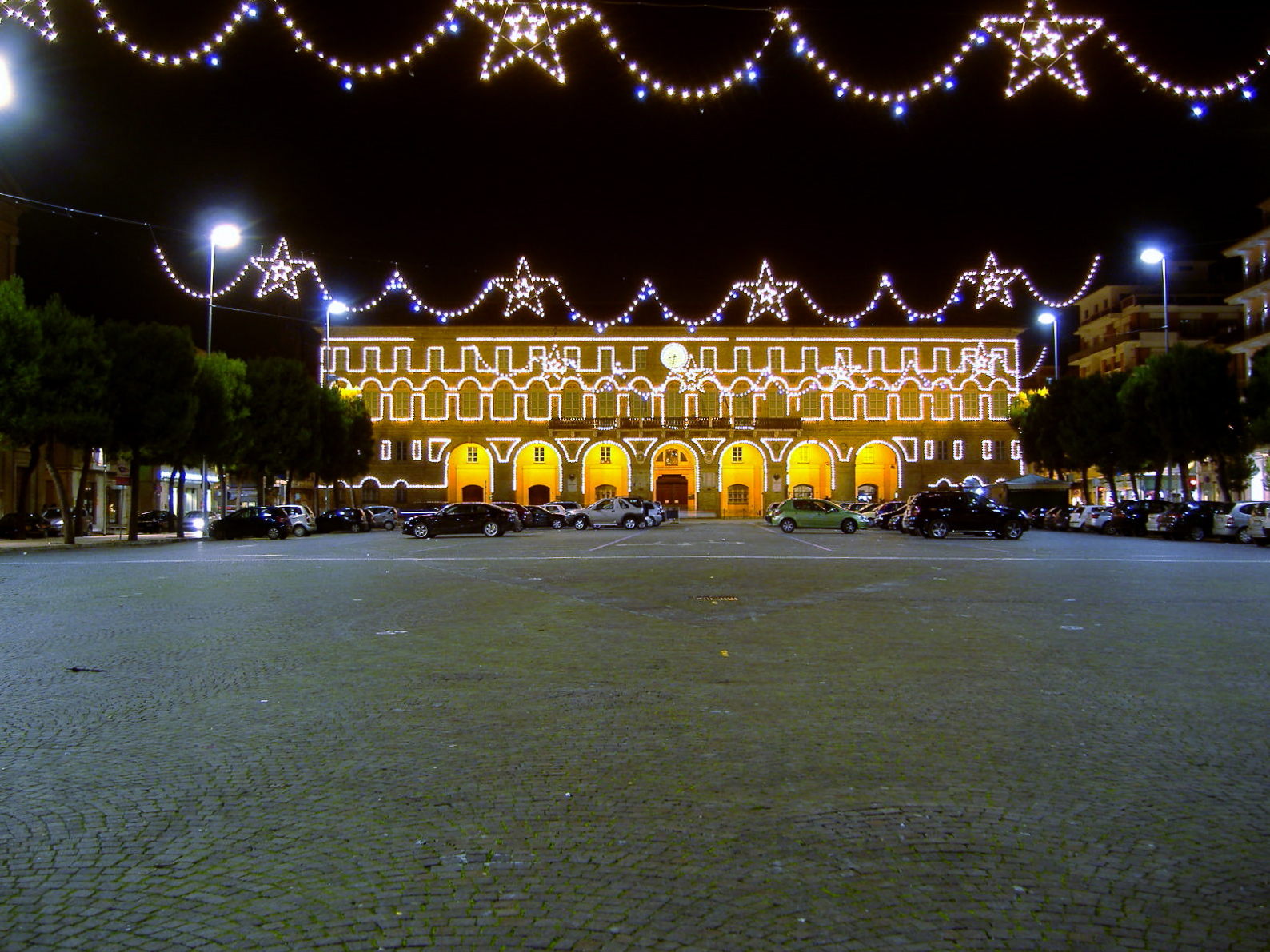
Civitanova Marche (Q258082): Difference between revisions
Jump to navigation
Jump to search
(Changed an Item: Adding this statements since they where added in Wikidata) |
(Changed an Item: Adding this statements since they where added in Wikidata) |
||||||||||||||
| Property / Freebase ID | |||||||||||||||
| Property / Freebase ID: /m/0gl6d6 / rank | |||||||||||||||
Normal rank | |||||||||||||||
| Property / Freebase ID: /m/0gl6d6 / reference | |||||||||||||||
| Property / Freebase ID: /m/0gl6d6 / reference | |||||||||||||||
publication date: 28 October 2013
| |||||||||||||||
| Property / twinned administrative body | |||||||||||||||
| Property / twinned administrative body: Esine / rank | |||||||||||||||
Normal rank | |||||||||||||||
| Property / twinned administrative body: Esine / reference | |||||||||||||||
| Property / twinned administrative body | |||||||||||||||
| Property / twinned administrative body: caseros / rank | |||||||||||||||
Normal rank | |||||||||||||||
| Property / twinned administrative body: caseros / reference | |||||||||||||||
| Property / twinned administrative body | |||||||||||||||
| Property / twinned administrative body: Šibenik / rank | |||||||||||||||
Normal rank | |||||||||||||||
| Property / twinned administrative body: Šibenik / reference | |||||||||||||||
| Property / twinned administrative body | |||||||||||||||
| Property / twinned administrative body: gmina Skawina / rank | |||||||||||||||
Normal rank | |||||||||||||||
| Property / twinned administrative body: gmina Skawina / reference | |||||||||||||||
| Property / twinned administrative body | |||||||||||||||
| Property / twinned administrative body: Skawina / rank | |||||||||||||||
Normal rank | |||||||||||||||
| Property / GND ID | |||||||||||||||
| Property / GND ID: 4383279-9 / rank | |||||||||||||||
Normal rank | |||||||||||||||
| Property / GND ID: 4383279-9 / reference | |||||||||||||||
| Property / category for people who died here | |||||||||||||||
| Property / category for people who died here: Category:Deaths in Civitanova Marche / rank | |||||||||||||||
Normal rank | |||||||||||||||
| Property / category for people who died here: Category:Deaths in Civitanova Marche / reference | |||||||||||||||
| Property / category for people born here | |||||||||||||||
| Property / category for people born here: Q2612461 / rank | |||||||||||||||
Normal rank | |||||||||||||||
| Property / category for people born here: Q2612461 / reference | |||||||||||||||
| Property / VIAF ID | |||||||||||||||
| Property / VIAF ID: 127396015 / rank | |||||||||||||||
Normal rank | |||||||||||||||
| Property / VIAF ID: 127396015 / reference | |||||||||||||||
| Property / Digital Atlas of the Roman Empire ID | |||||||||||||||
| Property / Digital Atlas of the Roman Empire ID: 16809 / rank | |||||||||||||||
Normal rank | |||||||||||||||
| Property / elevation above sea level | |||||||||||||||
0±1 metre
| |||||||||||||||
| Property / elevation above sea level: 0±1 metre / rank | |||||||||||||||
Normal rank | |||||||||||||||
| Property / elevation above sea level: 0±1 metre / reference | |||||||||||||||
| Property / Gran Enciclopèdia Catalana ID | |||||||||||||||
| Property / Gran Enciclopèdia Catalana ID: 0017994 / rank | |||||||||||||||
Normal rank | |||||||||||||||
| Property / coordinate location | |||||||||||||||
43°18'24.30"N, 13°43'42.96"E
| |||||||||||||||
| Property / coordinate location: 43°18'24.30"N, 13°43'42.96"E / rank | |||||||||||||||
Normal rank | |||||||||||||||
| Property / coordinate location: 43°18'24.30"N, 13°43'42.96"E / reference | |||||||||||||||
| Property / MusicBrainz area ID | |||||||||||||||
| Property / MusicBrainz area ID: c8f3d45d-8fc9-4dde-b740-9d7598772f6b / rank | |||||||||||||||
Normal rank | |||||||||||||||
| Property / MusicBrainz area ID: c8f3d45d-8fc9-4dde-b740-9d7598772f6b / reference | |||||||||||||||
| Property / licence plate code | |||||||||||||||
MC | |||||||||||||||
| Property / licence plate code: MC / rank | |||||||||||||||
Normal rank | |||||||||||||||
| Property / coordinates of northernmost point | |||||||||||||||
43°20'57.239"N, 13°42'13.248"E
| |||||||||||||||
| Property / coordinates of northernmost point: 43°20'57.239"N, 13°42'13.248"E / rank | |||||||||||||||
Normal rank | |||||||||||||||
| Property / coordinates of northernmost point: 43°20'57.239"N, 13°42'13.248"E / reference | |||||||||||||||
| Property / coordinates of southernmost point | |||||||||||||||
43°16'29.431"N, 13°39'13.856"E
| |||||||||||||||
| Property / coordinates of southernmost point: 43°16'29.431"N, 13°39'13.856"E / rank | |||||||||||||||
Normal rank | |||||||||||||||
| Property / coordinates of southernmost point: 43°16'29.431"N, 13°39'13.856"E / reference | |||||||||||||||
| Property / coordinates of easternmost point | |||||||||||||||
43°17'39.347"N, 13°44'35.812"E
| |||||||||||||||
| Property / coordinates of easternmost point: 43°17'39.347"N, 13°44'35.812"E / rank | |||||||||||||||
Normal rank | |||||||||||||||
| Property / coordinates of easternmost point: 43°17'39.347"N, 13°44'35.812"E / reference | |||||||||||||||
| Property / coordinates of westernmost point | |||||||||||||||
43°20'29.674"N, 13°37'45.664"E
| |||||||||||||||
| Property / coordinates of westernmost point: 43°20'29.674"N, 13°37'45.664"E / rank | |||||||||||||||
Normal rank | |||||||||||||||
| Property / coordinates of westernmost point: 43°20'29.674"N, 13°37'45.664"E / reference | |||||||||||||||
Revision as of 04:17, 6 August 2020
Italian comune
| Language | Label | Description | Also known as |
|---|---|---|---|
| English | Civitanova Marche |
Italian comune |
Statements
Civitanova Marche
0 references
Map of comune of Civitanova Marche (province of Macerata, region Marche, Italy).svg
8,349 × 8,064; 115 KB
8,349 × 8,064; 115 KB
1 reference
MC
0 references
Identifiers
262470438
0 references
2--45673
0 references


