Gmina Lesznowola (Q2523564): Difference between revisions
Jump to navigation
Jump to search
(Changed an Item: Adding these statements since they where added in Wikidata) |
(Changed an Item: Adding these statements since they where added in Wikidata) |
||
| (4 intermediate revisions by the same user not shown) | |||
| label / el | label / el | ||
Γκμίνα Λεσνοβόλα | |||
| Property / Historical Gazetteer (GOV) ID | |||
| Property / Historical Gazetteer (GOV) ID: object_1072780 / rank | |||
Normal rank | |||
| Property / OSM relation ID | |||
| Property / OSM relation ID: 2415879 / rank | |||
Normal rank | |||
| Property / OpenWeatherMap city ID | |||
| Property / OpenWeatherMap city ID: 766369 / rank | |||
Normal rank | |||
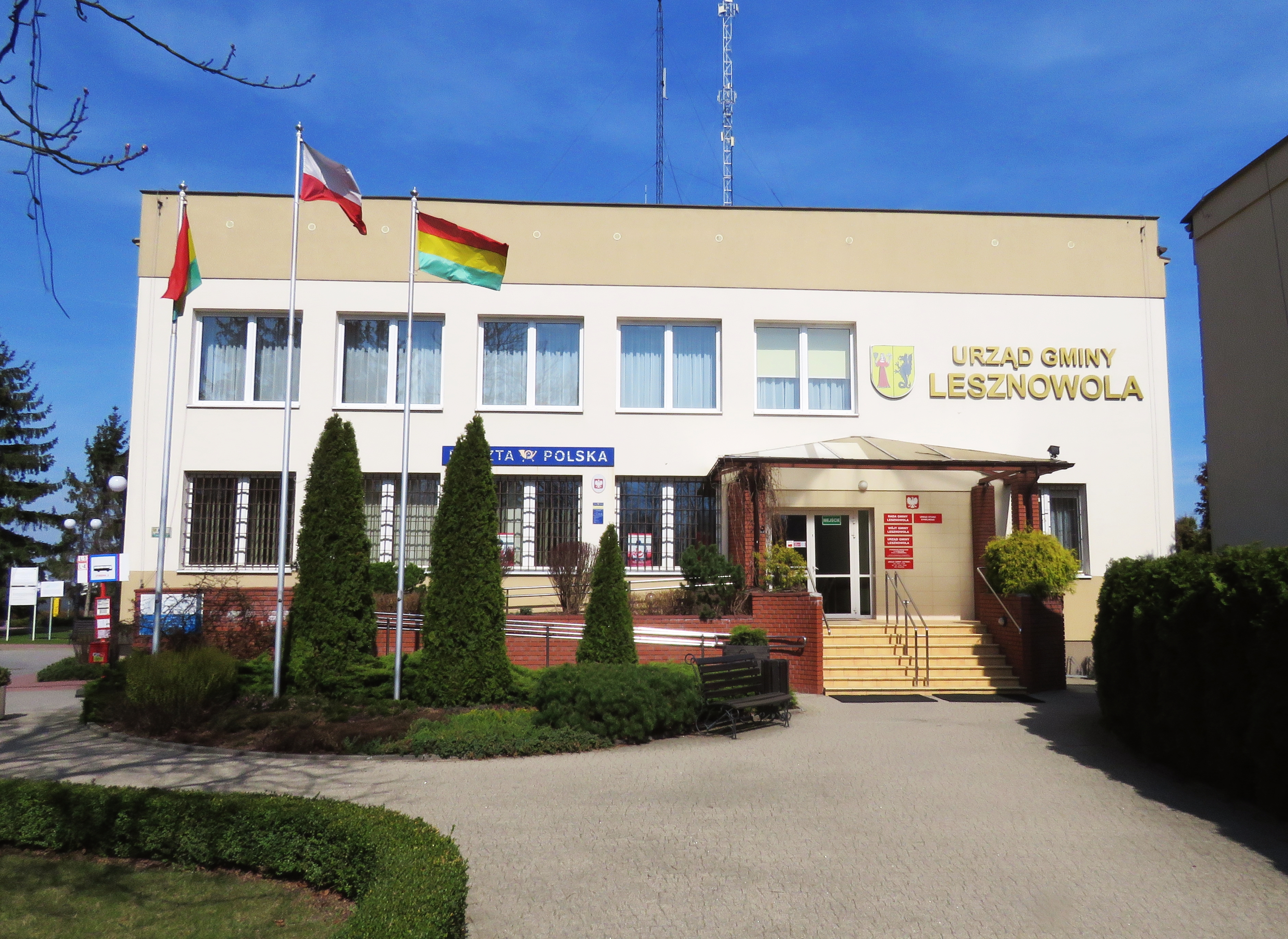
| Property / image | |||
| Property / image: LESZNOWOLA Urząd Gminy 01.jpg / rank | |||
Normal rank | |||
Latest revision as of 22:53, 1 December 2024
rural gmina of Poland
| Language | Label | Description | Also known as |
|---|---|---|---|
| English | Gmina Lesznowola |
rural gmina of Poland |
Statements
Identifiers
1231220334
0 references
1418032
3 references
Q2523564
0 references


