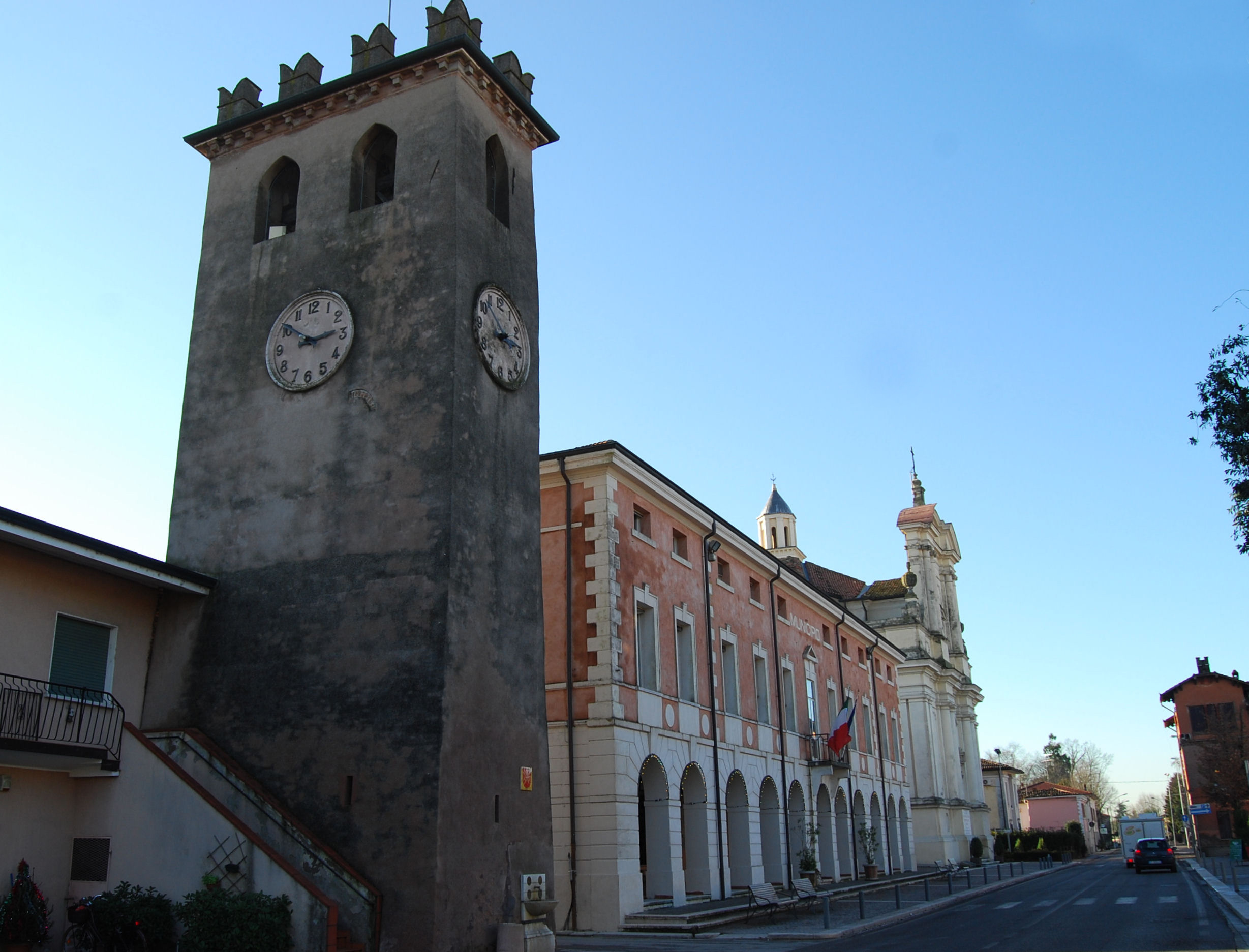
Rodigo (Q257208): Difference between revisions
Jump to navigation
Jump to search
(Removed claim: locator map image (P55): Map of comune of Rodigo (province of Mantua, region Lombardy, Italy).svg, Removing this statements since they changed in Wikidata) |
(Changed an Item: Adding these statements since they where added in Wikidata) |
||||||||||||||
| (One intermediate revision by the same user not shown) | |||||||||||||||
| Property / locator map image | |||||||||||||||
| Property / locator map image: Map of Rodigo (Province of Mantua, region Lombardy, Italy 2023).svg / rank | |||||||||||||||
Normal rank | |||||||||||||||
| Property / demonym | |||||||||||||||
rodighesi (Italian) | |||||||||||||||
| Property / demonym: rodighesi (Italian) / rank | |||||||||||||||
Normal rank | |||||||||||||||
| Property / demonym: rodighesi (Italian) / qualifier | |||||||||||||||
| Property / demonym: rodighesi (Italian) / reference | |||||||||||||||
| Property / page banner | |||||||||||||||
| Property / page banner: Wv Rodigo banner.jpg / rank | |||||||||||||||
Normal rank | |||||||||||||||
| Property / WorldCat Entities ID | |||||||||||||||
E39PCjxmdB6M9thbvVw8KMD9CP | |||||||||||||||
| Property / WorldCat Entities ID: E39PCjxmdB6M9thbvVw8KMD9CP / rank | |||||||||||||||
Normal rank | |||||||||||||||
| Property / WorldCat Entities ID: E39PCjxmdB6M9thbvVw8KMD9CP / reference | |||||||||||||||
| Property / WorldCat Entities ID: E39PCjxmdB6M9thbvVw8KMD9CP / reference | |||||||||||||||
| Property / WorldCat Entities ID: E39PCjxmdB6M9thbvVw8KMD9CP / reference | |||||||||||||||
retrieved: 7 June 2024
| |||||||||||||||
Latest revision as of 18:37, 13 June 2024
Italian comune
| Language | Label | Description | Also known as |
|---|---|---|---|
| English | Rodigo |
Italian comune |
Statements
Rodigo
0 references
MN
0 references
41.61 square kilometre
9 October 2011
5 references
Superficie di Comuni Province e Regioni italiane al 9 ottobre 2011 (Italian)
16 March 2019
5,281
1 January 2017
1 reference
5,272
1 January 2018
4 references
Popolazione Residente al 1° Gennaio 2018 (Italian)
16 March 2019
5,272
1 January 2018
4 references
Popolazione Residente al 1° Gennaio 2018 (Italian)
16 March 2019
Map of Rodigo (Province of Mantua, region Lombardy, Italy 2023).svg
1,250 × 1,250; 1.16 MB
1,250 × 1,250; 1.16 MB
0 references
rodighesi (Italian)
1 reference
Identifiers
80005810207
0 references
7000070
0 references
Q257208
0 references
E39PCjxmdB6M9thbvVw8KMD9CP
3 references


