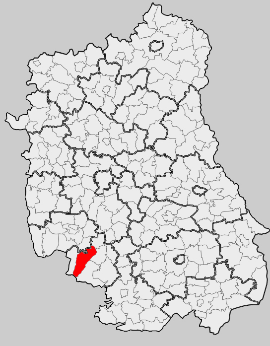
Gmina Modliborzyce (Q2521738): Difference between revisions
Jump to navigation
Jump to search
(Removed claim: coordinate location (P127): 50°41'N, 22°18'E, Removing this statements since they changed in Wikidata) |
(Changed an Item: Adding these statements since they where added in Wikidata) |
||
| (2 intermediate revisions by the same user not shown) | |||
| Property / coat of arms image | |||
| Property / coat of arms image: POL gmina Modliborzyce COA.svg / rank | |||
| Property / coat of arms image: POL gmina Modliborzyce COA.svg / reference | |||
| Property / Who's on First ID | |||
| Property / Who's on First ID: 101823983 / rank | |||
| Property / GeoNames ID | |||
| Property / GeoNames ID: 7532684 / rank | |||
Normal rank | |||
| Property / GeoNames ID: 7532684 / reference | |||
| Property / coat of arms image | |||
| Property / coat of arms image: POL Modliborzyce COA.svg / rank | |||
Normal rank | |||
| Property / coat of arms image: POL Modliborzyce COA.svg / reference | |||
| Property / Who's on First ID | |||
| Property / Who's on First ID: 1125350353 / rank | |||
Normal rank | |||
Latest revision as of 15:28, 9 June 2024
urban-rural gmina of Poland
| Language | Label | Description | Also known as |
|---|---|---|---|
| English | Gmina Modliborzyce |
urban-rural gmina of Poland |
Statements
152.5 square kilometre
Identifiers
8621576344
0 references
0605063
3 references
Q2521738
0 references
-517039
0 references


