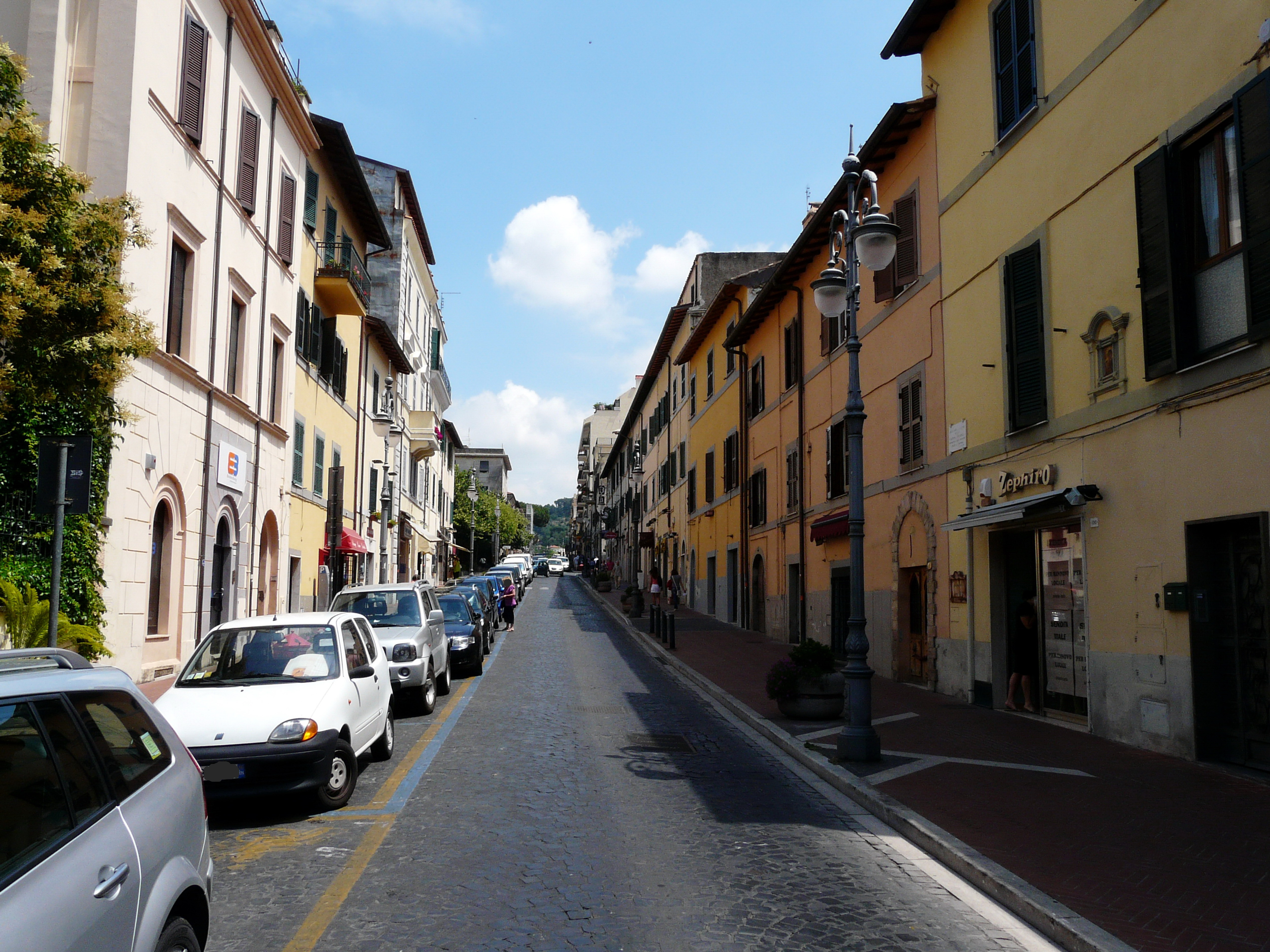
Grottaferrata (Q6244): Difference between revisions
Jump to navigation
Jump to search
(Changed an Item: Adding these statements since they where added in Wikidata) |
(Removed claim: population (P9): 20,460, Removing this statements since they changed in Wikidata) |
||||||||||||||
| (8 intermediate revisions by the same user not shown) | |||||||||||||||
| label / ga | label / ga | ||||||||||||||
Grottaferrata | |||||||||||||||
| description / tr | description / tr | ||||||||||||||
İtalya'nın | İtalya'nın Lazio bölgesinde, Roma Capitale iline bağlı ilçe (komün) | ||||||||||||||
| Property / population | |||||||||||||||
| |||||||||||||||
| Property / population: 20,460 / rank | |||||||||||||||
| Property / population: 20,460 / qualifier | |||||||||||||||
| |||||||||||||||
| Property / population: 20,460 / qualifier | |||||||||||||||
| Property / population: 20,460 / reference | |||||||||||||||
| Property / population: 20,460 / reference | |||||||||||||||
| Property / population: 20,460 / reference | |||||||||||||||
| |||||||||||||||
| Property / population: 20,460 / reference | |||||||||||||||
| Property / located in the administrative territorial entity | |||||||||||||||
| Property / located in the administrative territorial entity: Metropolitan City of Rome / rank | |||||||||||||||
Preferred rank | |||||||||||||||
| Property / located in the administrative territorial entity: Metropolitan City of Rome / qualifier | |||||||||||||||
start time: 1 January 2015
| |||||||||||||||
| Property / located in the administrative territorial entity: Metropolitan City of Rome / qualifier | |||||||||||||||
| Property / coat of arms image | |||||||||||||||
| Property / coat of arms image: Grottaferrata-Stemma.svg / rank | |||||||||||||||
Normal rank | |||||||||||||||
| Property / coat of arms image: Grottaferrata-Stemma.svg / reference | |||||||||||||||
| Property / coat of arms image: Grottaferrata-Stemma.svg / reference | |||||||||||||||
| Property / Den Store Danske ID | |||||||||||||||
Grottaferrata | |||||||||||||||
| Property / Den Store Danske ID: Grottaferrata / rank | |||||||||||||||
Normal rank | |||||||||||||||
| Property / native label | |||||||||||||||
Grottaferrata (Italian) | |||||||||||||||
| Property / native label: Grottaferrata (Italian) / rank | |||||||||||||||
Normal rank | |||||||||||||||
| Property / native label: Grottaferrata (Italian) / reference | |||||||||||||||
| Property / native label: Grottaferrata (Italian) / reference | |||||||||||||||
| Property / official name | |||||||||||||||
Grottaferrata (Italian) | |||||||||||||||
| Property / official name: Grottaferrata (Italian) / rank | |||||||||||||||
Normal rank | |||||||||||||||
| Property / official name: Grottaferrata (Italian) / reference | |||||||||||||||
| Property / official name: Grottaferrata (Italian) / reference | |||||||||||||||
| Property / National Library of Israel J9U ID | |||||||||||||||
987007564354005171 | |||||||||||||||
| Property / National Library of Israel J9U ID: 987007564354005171 / rank | |||||||||||||||
Normal rank | |||||||||||||||
| Property / National Library of Israel J9U ID: 987007564354005171 / reference | |||||||||||||||
| Property / seismic classification | |||||||||||||||
| Property / seismic classification: 2B / rank | |||||||||||||||
Normal rank | |||||||||||||||
| Property / seismic classification: 2B / reference | |||||||||||||||
| Property / seismic classification: 2B / reference | |||||||||||||||
| Property / seismic classification: 2B / reference | |||||||||||||||
retrieved: 27 August 2022
| |||||||||||||||
| Property / National Historical Museums of Sweden agent ID | |||||||||||||||
geo/EA350D56-4865-458E-BA44-EEC63D6F7550 | |||||||||||||||
| Property / National Historical Museums of Sweden agent ID: geo/EA350D56-4865-458E-BA44-EEC63D6F7550 / rank | |||||||||||||||
Normal rank | |||||||||||||||
| Property / EU Knowledge Graph item ID | |||||||||||||||
Q6244 | |||||||||||||||
| Property / EU Knowledge Graph item ID: Q6244 / rank | |||||||||||||||
Normal rank | |||||||||||||||
| Property / OpenStreetMap object | |||||||||||||||
node/72962676 | |||||||||||||||
| Property / OpenStreetMap object: node/72962676 / rank | |||||||||||||||
Normal rank | |||||||||||||||
| Property / OpenStreetMap node ID | |||||||||||||||
72962676 | |||||||||||||||
| Property / OpenStreetMap node ID: 72962676 / rank | |||||||||||||||
Normal rank | |||||||||||||||
| Property / described by source | |||||||||||||||
| Property / described by source: Encyclopædia Britannica 11th edition / rank | |||||||||||||||
Normal rank | |||||||||||||||
| Property / described by source: Encyclopædia Britannica 11th edition / qualifier | |||||||||||||||
Latest revision as of 08:03, 4 February 2024
Italian comune
| Language | Label | Description | Also known as |
|---|---|---|---|
| English | Grottaferrata |
Italian comune |
Statements
Grottaferrata
0 references
31 December 2014
1 reference
0 references
Map of comune of Grottaferrata (province of Rome, region Lazio, Italy).svg
9,449 × 7,180; 224 KB
9,449 × 7,180; 224 KB
1 reference
320±1 metre
Grottaferrata
0 references
18.4 square kilometre
9 October 2011
5 references
Superficie di Comuni Province e Regioni italiane al 9 ottobre 2011 (Italian)
16 March 2019
20,450
1 January 2017
1 reference
ROMA
0 references
Grottaferrata (Italian)
Grottaferrata (Italian)
Identifiers
2838140586
0 references
2--4563
0 references
E204
0 references
3 references
3 references
T84-3349
0 references
MUSL001300
0 references
Grottaferrata
0 references
987007564354005171
geo/EA350D56-4865-458E-BA44-EEC63D6F7550
0 references
Q6244
0 references
node/72962676
0 references
72962676
0 references


