Gmina Bakałarzewo (Q2682565): Difference between revisions
Jump to navigation
Jump to search
(Changed an Item: Adding these statements since they where added in Wikidata) |
(Changed an Item: Adding these statements since they where added in Wikidata) |
||||||
| Property / elevation above sea level | |||||||
174 metre
| |||||||
| Property / elevation above sea level: 174 metre / rank | |||||||
Normal rank | |||||||
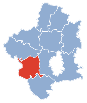
| Property / locator map image | |||||||
| Property / locator map image: POL powiat suwalski gmina Bakalarzewo.svg / rank | |||||||
Normal rank | |||||||
| Property / locator map image: POL powiat suwalski gmina Bakalarzewo.svg / reference | |||||||
| Property / locator map image: POL powiat suwalski gmina Bakalarzewo.svg / reference | |||||||
| Property / Who's on First ID | |||||||
| Property / Who's on First ID: 1125804431 / rank | |||||||
Normal rank | |||||||
| Property / postal code | |||||||
16-423 | |||||||
| Property / postal code: 16-423 / rank | |||||||
Normal rank | |||||||
| Property / postal code: 16-423 / reference | |||||||
| Property / postal code: 16-423 / reference | |||||||
Revision as of 17:31, 4 November 2021
rural gmina of Poland
- Bakałarzewo
| Language | Label | Description | Also known as |
|---|---|---|---|
| English | Gmina Bakałarzewo |
rural gmina of Poland |
|
Statements
Gmina Bakałarzewo
0 references
174 metre
0 references
Identifiers
8442140699
0 references


